Medium airport · United States

Deming Municipal AirportKDMN

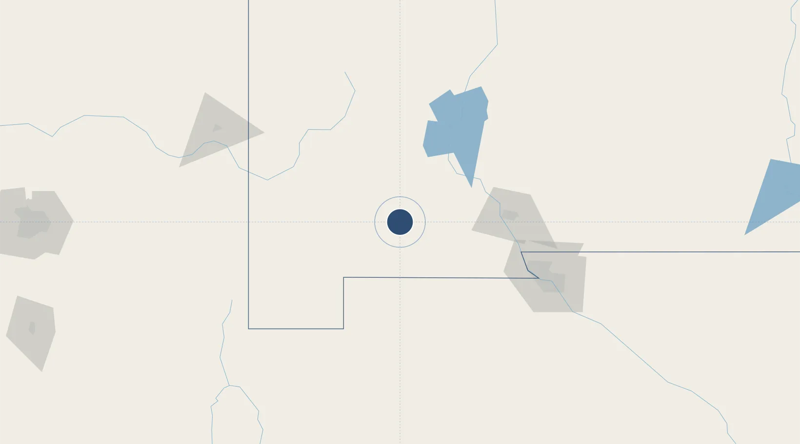
32.2623°, -107.7210°
8,018 ft
Longest runway
2
Runways
4,314 ft
Elevation

Runway & Layout

Deming Municipal Airport runway & taxiway layout
Runway & taxiway layout — OpenStreetMap (ODbL) / OurAirports

Radio Frequencies

ASOS
118.525 MHz
CNTR
128.2 MHz
ALBUQUERQUE CNTR
RDO
122.2 MHz
ALBUQUERQUE RDO
UNIC
122.8 MHz
CTAF/UNICOM
OurAirports

Navaids

DMN VORTAC Deming 108.60 MHz
OurAirports

Runways · 2

RunwayDimensions SurfaceTrue headingLit
08/26 8,018 × 75ft Asphalt 090°
04/22 5,675 × 60ft Asphalt 052°
OurAirports

Airport Specifications

IATA code
DMN
OurAirports
ICAO code
KDMN
OurAirports
Airport class
Medium airport
OurAirports
Scheduled service
No
OurAirports
Runway surface
Asphalt
OurAirports
Served city
Deming
OurAirports

Location

Location of KDMN
Natural Earth 10m (public domain) · New Mexico · KDMN · 32.26, -107.72GoogleOSMYandex

Nearby Logistics Neighbours

Airports
  1. 1Grant County Airport58 km
  2. 2Las Cruces International Airport75 km
  3. 3Truth or Consequences Municipal Airport116 km
  4. 4Biggs Army Air Field (Fort Bliss)135 km
  5. 5El Paso International Airport136 km
Nearest neighbours — logibook spatial index (haversine) over the source coordinates
Cities
  1. 1Hurley62 km
  2. 2Hatch70 km
  3. 3Tyrone74 km
  4. 4Rincon76 km
  5. 5Radium Springs79 km
Nearest neighbours — logibook spatial index (haversine) over the source coordinates
Ports
  1. 1Guaymas573 km
  2. 2Santa Rosalia703 km
  3. 3Isla San Marcos705 km
  4. 4Topolobampo752 km
  5. 5Ensenada841 km
Nearest neighbours — logibook spatial index (haversine) over the source coordinates
Trade Zones
  1. 1FTZ No. 197 Dona Ana County36 km
  2. 2FTZ No. 068 El Paso137 km
  3. 3FTZ No. 150 El Paso137 km
  4. 4FTZ No. 139 Sierra Vista255 km
  5. 5FTZ No. 174 Pima County303 km
Nearest neighbours — logibook spatial index (haversine) over the source coordinates
DatabookThe Record of Consolidated Knowledge
United States beyond logistics?
Browse databook

All Sources

AirportsOurAirports
Public domain
Portsthe NGA World Port Index
Public domain (US gov)
LocationsUN/LOCODE
UN/LOCODE — free
Trade Zonesthe World Bank SEZ database
CC BY 4.0
Trade ZonesOpen Zone Map
CC BY
InfrastructureOpenStreetMap
ODbL 1.0
← United States airports