Medium airport · United States

Davis Monthan Air Force BaseKDMA

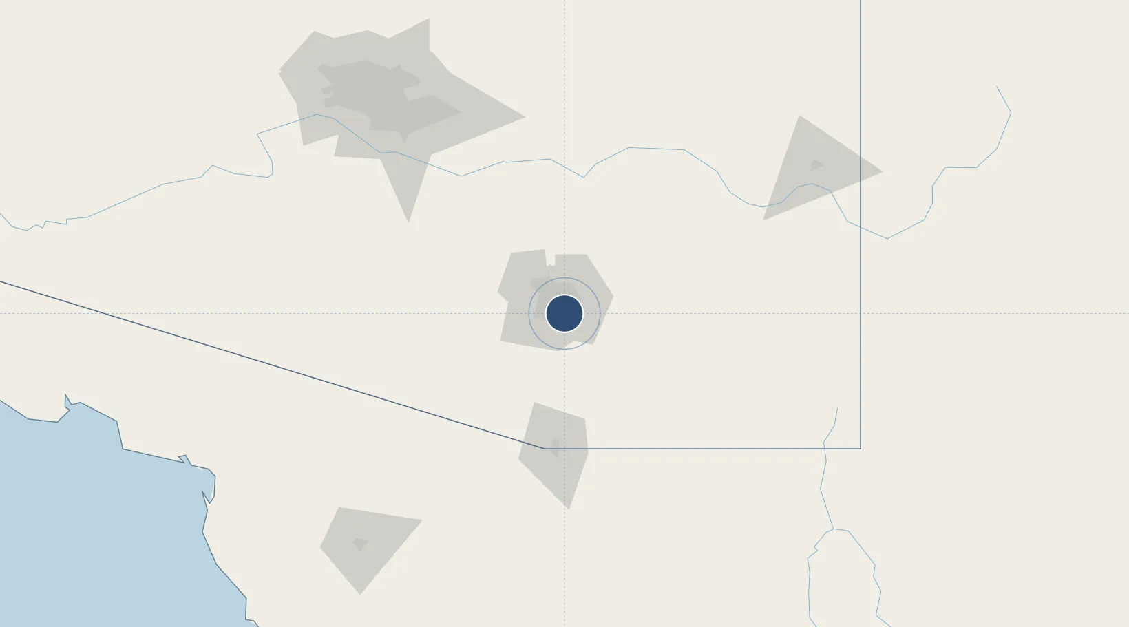
32.1665°, -110.8830°
13,643 ft
Longest runway
1
Runways
2,704 ft
Elevation

Runway & Layout

Davis Monthan Air Force Base runway & taxiway layout
Runway & taxiway layout — OpenStreetMap (ODbL) / OurAirports

Radio Frequencies

ATIS
27.01 MHz
TWR
118.85 MHz
GND
121.8 MHz
CLD
121.8 MHz
CLNC DEL
A/D
119.4 MHz
TUCSON APP/DEP
ACP
38.13 MHz
COMD POST
PMSV
23.98 MHz
PMSV METRO
PTD
37.22 MHz
OurAirports

Navaids

DMA TACAN Davis Monthan 117.60 MHz
OurAirports

Runways · 1

RunwayDimensions SurfaceTrue headingLit
12/30 13,643 × 200ft Asphalt / concrete 138°
OurAirports

Airport Specifications

IATA code
DMA
OurAirports
ICAO code
KDMA
OurAirports
Airport class
Medium airport
OurAirports
Scheduled service
No
OurAirports
Runway surface
Asphalt / concrete
OurAirports
Served city
Tucson
OurAirports

Location

Location of KDMA
Natural Earth 10m (public domain) · Arizona · KDMA · 32.17, -110.88GoogleOSMYandex

Nearby Logistics Neighbours

Airports
  1. 1Tucson International Airport8 km
  2. 2Sierra Vista Municipal Airport / Libby Army Air Field82 km
  3. 3Nogales International Airport83 km
  4. 4Nogales International Airport105 km
  5. 5Bisbee Douglas International Airport144 km
Nearest neighbours — logibook spatial index (haversine) over the source coordinates
Cities
  1. 1Tucson5 km
  2. 2Tucson International Apt6 km
  3. 3South Tucson8 km
  4. 4Vail20 km
  5. 5Sahuarita25 km
Nearest neighbours — logibook spatial index (haversine) over the source coordinates
Ports
  1. 1Guaymas473 km
  2. 2Ensenada543 km
  3. 3Santa Rosalia554 km
  4. 4Isla San Marcos566 km
  5. 5Rosarito585 km
Nearest neighbours — logibook spatial index (haversine) over the source coordinates
Trade Zones
  1. 1FTZ No. 174 Pima County15 km
  2. 2FTZ No. 139 Sierra Vista88 km
  3. 3FTZ No. 060 Nogales91 km
  4. 4FTZ No. 221 Mesa165 km
  5. 5FTZ No. 075 Phoenix181 km
Nearest neighbours — logibook spatial index (haversine) over the source coordinates
DatabookThe Record of Consolidated Knowledge
United States beyond logistics?
Browse databook

All Sources

AirportsOurAirports
Public domain
Portsthe NGA World Port Index
Public domain (US gov)
LocationsUN/LOCODE
UN/LOCODE — free
Trade Zonesthe World Bank SEZ database
CC BY 4.0
Trade ZonesOpen Zone Map
CC BY
InfrastructureOpenStreetMap
ODbL 1.0
← United States airports