Transport Functions
Rail
Road
Multimodal
Hub Profile
Place type
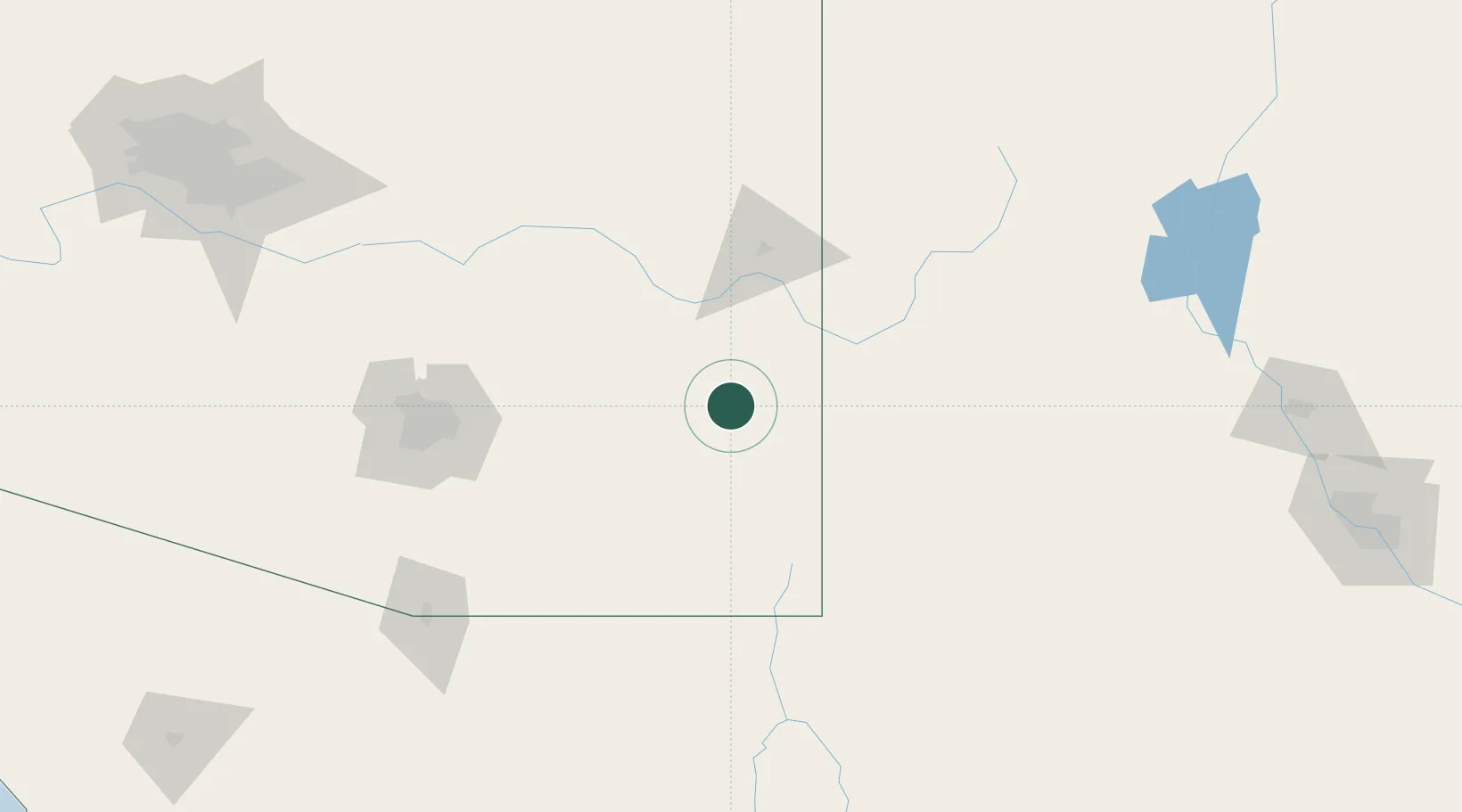
Populated place
Region
Arizona
Population
449
Time zone
America/Phoenix
Elevation
1,147 m
Location
Nearby Logistics Neighbours
Ports
- 1Guaymas510 km
- 2Santa Rosalia618 km
- 3Isla San Marcos626 km
- 4Ensenada675 km
- 5Rosarito715 km
Airports
Trade Zones
- 1FTZ No. 139 Sierra Vista116 km
- 2FTZ No. 174 Pima County137 km
- 3FTZ No. 060 Nogales175 km
- 4FTZ No. 197 Dona Ana County198 km
- 5FTZ No. 221 Mesa250 km
DatabookThe Record of Consolidated Knowledge
United States beyond logistics?