UN/LOCODE hub · United States
USUGE
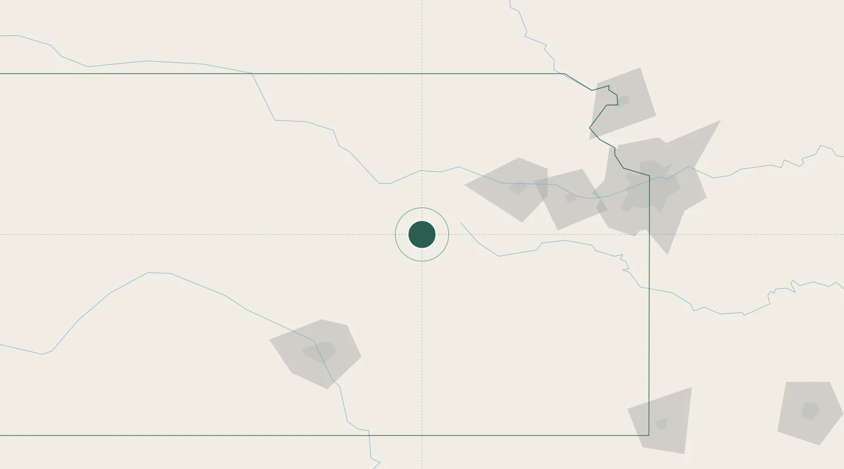
Council Grove
38.6667°, -96.5000°
2,086
Population
3
Transport functions
Transport Functions
Port
Rail
Road
Hub Profile
Place type
Provincial seat
Region
Kansas
Population
2,086
Time zone
America/Chicago
Elevation
377 m
Location
Nearby Logistics Neighbours
Cities
- 1Chapman56 km
- 2Saint Marys69 km
- 3Rossville70 km
- 4Lyndon71 km
- 5Riley74 km
Ports
- 1Port Of Memphis691 km
- 2Kaukauna927 km
- 3Green Bay959 km
- 4Superior967 km
- 5Duluth969 km
Airports
Trade Zones
- 1FTZ No. 015 Kansas City140 km
- 2FTZ No. 017 Kansas City150 km
- 3FTZ No. 161 Sedgwick County155 km
- 4FTZ No. 133 Quad-Cities, Iowa Illinois166 km
- 5FTZ No. 059 Lincoln239 km
DatabookThe Record of Consolidated Knowledge
United States beyond logistics?