Transport Functions
Road
Multimodal
Hub Profile
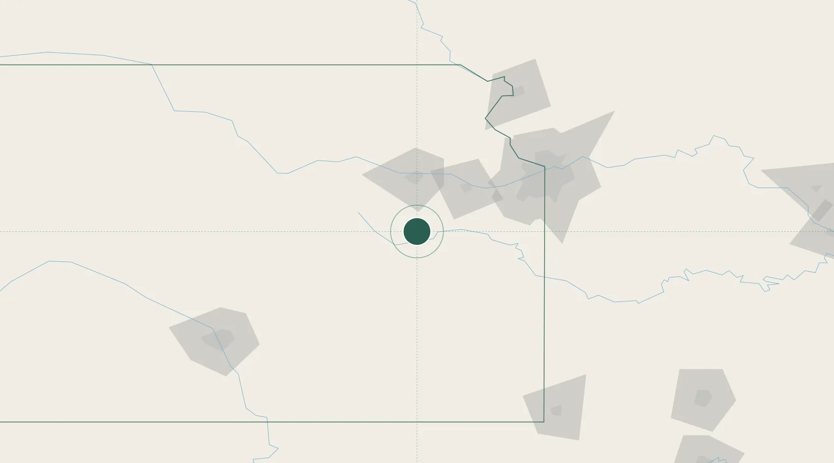
Place type
Provincial seat
Region
Kansas
Population
1,023
Time zone
America/Chicago
Elevation
315 m
Location
Nearby Logistics Neighbours
Cities
- 1Baldwin City47 km
- 2Rossville64 km
- 3Meriden66 km
- 4Council Grove71 km
- 5Linwood72 km
Ports
- 1Port Of Memphis629 km
- 2Calumet Harbor776 km
- 3Chicago777 km
- 4Indiana Harbor779 km
- 5Wilmette780 km
Airports
Trade Zones
DatabookThe Record of Consolidated Knowledge
United States beyond logistics?