Transport Functions
Port
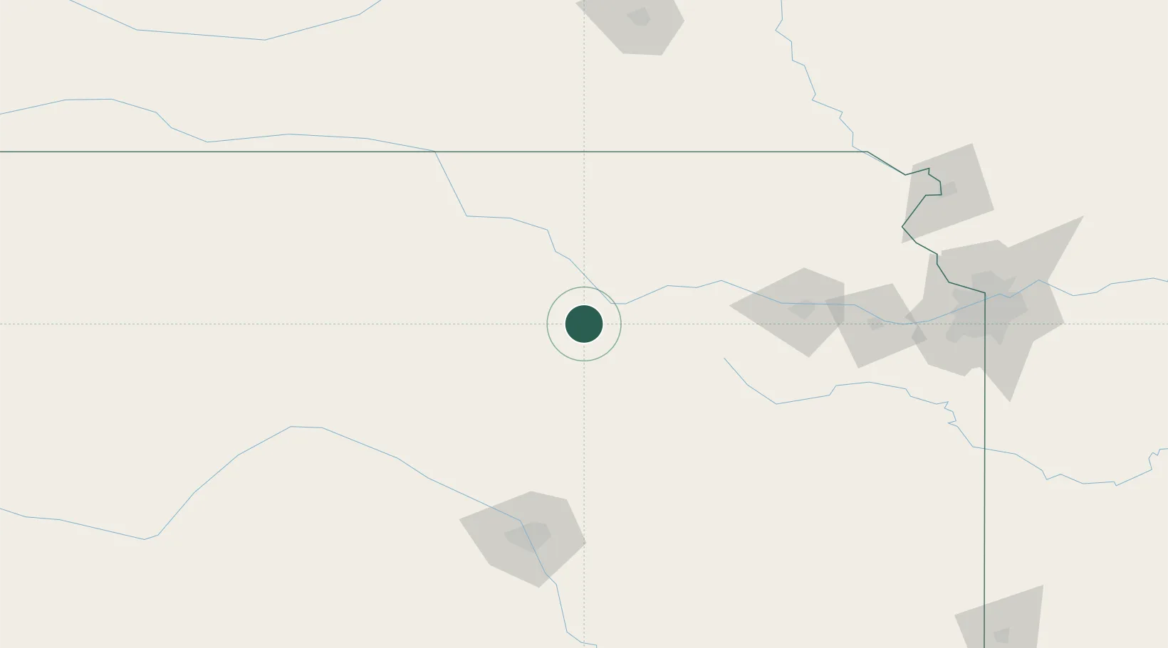
Hub Profile
Place type
Populated place
Region
Kansas
Population
1,376
Time zone
America/Chicago
Elevation
340 m
Location
Nearby Logistics Neighbours
Cities
- 1Riley39 km
- 2Council Grove56 km
- 3Minneapolis61 km
- 4Waterville83 km
- 5Saint Marys86 km
Ports
- 1Port Of Memphis747 km
- 2Kaukauna936 km
- 3Superior953 km
- 4Duluth955 km
- 5Green Bay968 km
Airports
- 1Marshall Army Air Field24 km
- 2Manhattan Regional Airport36 km
- 3Salina Municipal Airport58 km
- 4Topeka Regional Airport117 km
- 5Philip Billard Municipal Airport121 km
Trade Zones
- 1FTZ No. 133 Quad-Cities, Iowa Illinois144 km
- 2FTZ No. 161 Sedgwick County156 km
- 3FTZ No. 015 Kansas City184 km
- 4FTZ No. 017 Kansas City187 km
- 5FTZ No. 059 Lincoln205 km
DatabookThe Record of Consolidated Knowledge
United States beyond logistics?