UN/LOCODE hub · United States
USTXF
Fayetteville
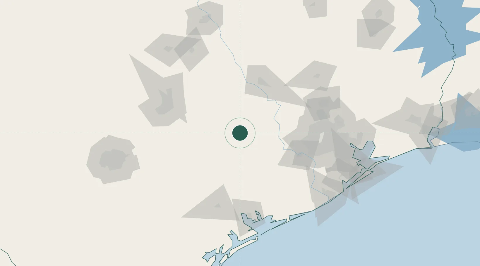
29.9000°, -96.6667°
263
Population
1
Transport functions
Transport Functions
Multimodal
Hub Profile
Place type
Populated place
Region
Texas
Population
263
Time zone
America/Chicago
Elevation
121 m
Location
Nearby Logistics Neighbours
Cities
- 1Warrenton15 km
- 2Carmine26 km
- 3Schulenburg34 km
- 4Giddings39 km
- 5Muldoon40 km
Ports
- 1Deer Park130 km
- 2Houston135 km
- 3Pasadena141 km
- 4Palacios142 km
- 5Port Lavaca143 km
Airports
- 1Easterwood Field82 km
- 2Austin Bergstrom International Airport101 km
- 3Sugar Land Regional Airport102 km
- 4Austin Executive Airport103 km
- 5San Marcos Regional Airport115 km
Trade Zones
- 1FTZ No. 183 Austin111 km
- 2FTZ No. 084 Harris County132 km
- 3FTZ No. 171 Liberty County156 km
- 4FTZ No. 149 Freeport160 km
- 5FTZ No. 199 Texas City178 km
DatabookThe Record of Consolidated Knowledge
United States beyond logistics?