UN/LOCODE hub · United States
USSBW
Schulenburg
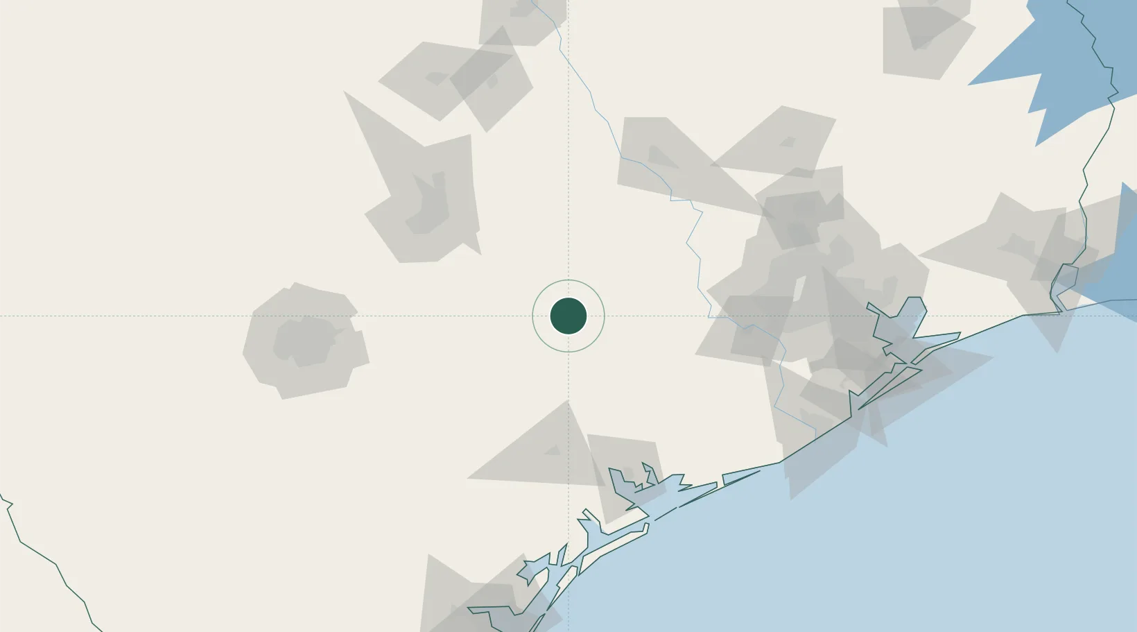
29.6667°, -96.9000°
2,925
Population
2
Transport functions
Transport Functions
Rail
Road
Hub Profile
Place type
Populated place
Region
Texas
Population
2,925
Time zone
America/Chicago
Elevation
112 m
Location
Nearby Logistics Neighbours
Cities
- 1Flatonia19 km
- 2Muldoon22 km
- 3Fayetteville34 km
- 4Waelder37 km
- 5Warrenton42 km
Ports
- 1Port Lavaca120 km
- 2Palacios128 km
- 3Deer Park152 km
- 4Houston156 km
- 5Pasadena163 km
Airports
Trade Zones
- 1FTZ No. 183 Austin105 km
- 2FTZ No. 084 Harris County155 km
- 3FTZ No. 149 Freeport163 km
- 4FTZ No. 171 Liberty County184 km
- 5FTZ No. 080 San Antonio184 km
DatabookThe Record of Consolidated Knowledge
United States beyond logistics?