Transport Functions
Multimodal
Hub Profile
Place type
Populated place
Region
Texas
Time zone
America/Chicago
Elevation
104 m
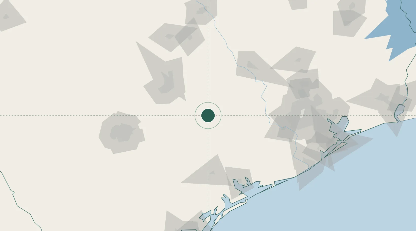
Location
Nearby Logistics Neighbours
Cities
- 1Flatonia13 km
- 2Schulenburg22 km
- 3Waelder25 km
- 4Fayetteville40 km
- 5Warrenton40 km
Ports
- 1Port Lavaca139 km
- 2Palacios149 km
- 3Deer Park167 km
- 4Houston172 km
- 5Pasadena179 km
Airports
Trade Zones
- 1FTZ No. 183 Austin83 km
- 2FTZ No. 084 Harris County170 km
- 3FTZ No. 080 San Antonio171 km
- 4FTZ No. 149 Freeport184 km
- 5FTZ No. 171 Liberty County196 km
DatabookThe Record of Consolidated Knowledge
United States beyond logistics?