UN/LOCODE hub · United States
USGDD
Giddings
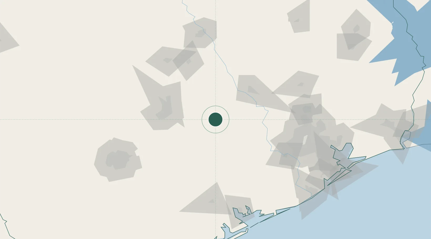
30.1667°, -96.9333°
5,064
Population
2
Transport functions
Transport Functions
Rail
Road
Hub Profile
Place type
Provincial seat
Region
Texas
Population
5,064
Time zone
America/Chicago
Elevation
154 m
Location
Nearby Logistics Neighbours
Cities
- 1Carmine24 km
- 2Warrenton26 km
- 3McDade32 km
- 4Bastrop37 km
- 5Fayetteville39 km
Ports
- 1Deer Park161 km
- 2Houston166 km
- 3Pasadena173 km
- 4Port Lavaca175 km
- 5Palacios179 km
Airports
Trade Zones
- 1FTZ No. 183 Austin78 km
- 2FTZ No. 246 Waco157 km
- 3FTZ No. 084 Harris County162 km
- 4FTZ No. 171 Liberty County178 km
- 5FTZ No. 080 San Antonio195 km
DatabookThe Record of Consolidated Knowledge
United States beyond logistics?