Transport Functions
Rail
Road
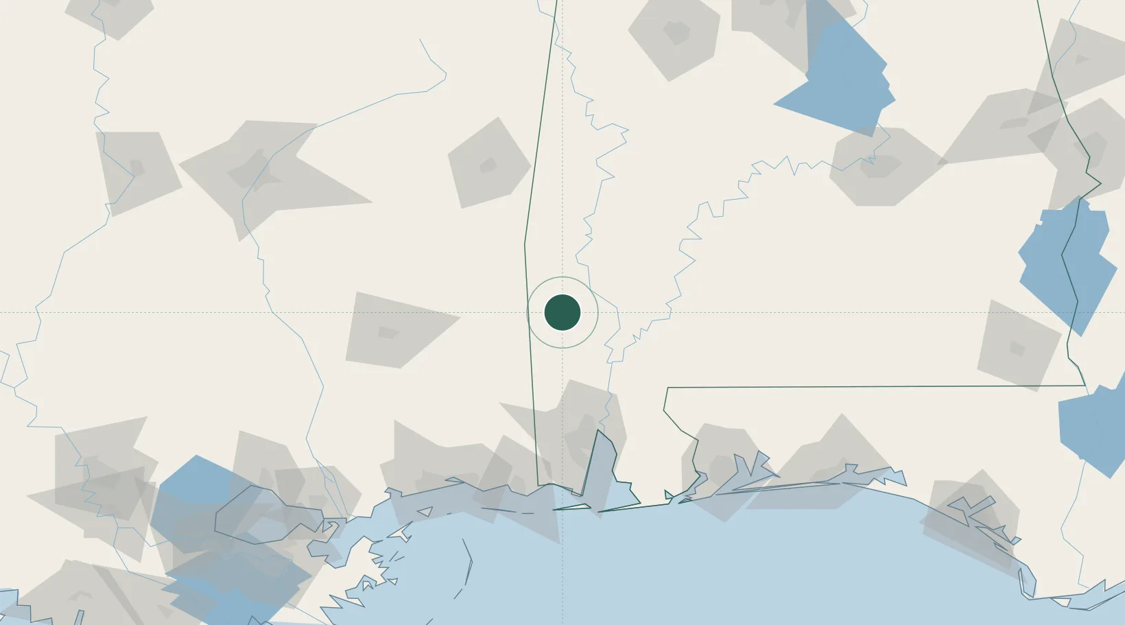
Hub Profile
Place type
Provincial seat
Region
Alabama
Population
1,237
Time zone
America/Chicago
Elevation
57 m
Location
Nearby Logistics Neighbours
Cities
- 1Leroy26 km
- 2Chunchula61 km
- 3Shubuta63 km
- 4Richton67 km
- 5Thomasville70 km
Ports
- 1Mobile88 km
- 2Pascagoula128 km
- 3Biloxi135 km
- 4Gulfport147 km
- 5Pensacola154 km
Airports
Trade Zones
- 1FTZ No. 082 Mobile88 km
- 2FTZ No. 092 Harrison County136 km
- 3FTZ No. 249 Pensacola148 km
- 4FTZ No. 222 Montgomery209 km
- 5FTZ No. 002 New Orleans243 km
DatabookThe Record of Consolidated Knowledge
United States beyond logistics?