UN/LOCODE hub · United States
USNIG
Pennington
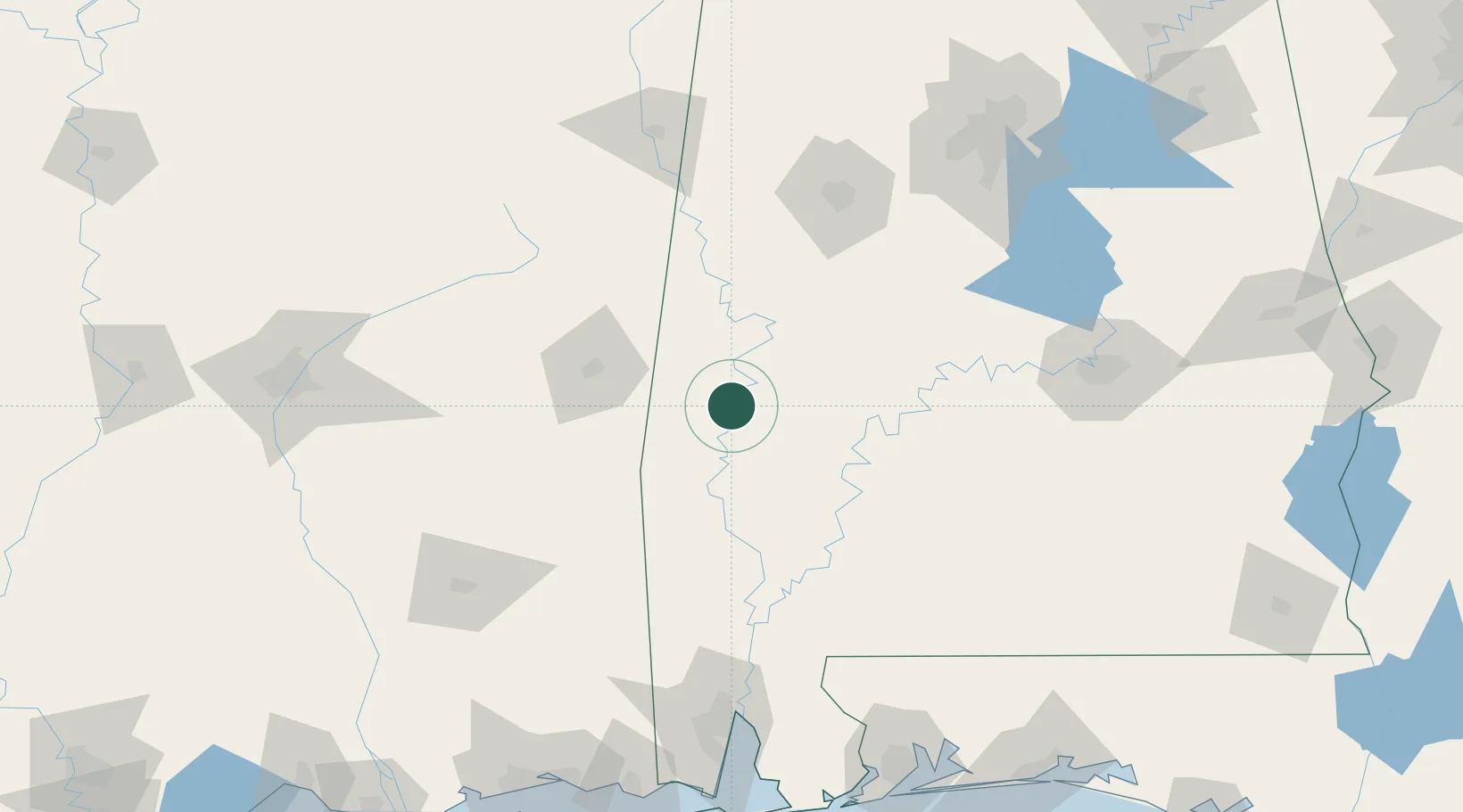
32.2000°, -88.0500°
210
Population
2
Transport functions
Transport Functions
Rail
Road
Hub Profile
Place type
Populated place
Region
Alabama
Population
210
Time zone
America/Chicago
Elevation
32 m
Location
Nearby Logistics Neighbours
Cities
- 1Thomasville43 km
- 2Greensboro71 km
- 3Eutaw73 km
- 4Shubuta73 km
- 5Camden76 km
Ports
- 1Mobile169 km
- 2Pascagoula212 km
- 3Pensacola215 km
- 4Biloxi217 km
- 5Gulfport228 km
Airports
Trade Zones
- 1FTZ No. 222 Montgomery165 km
- 2FTZ No. 082 Mobile168 km
- 3FTZ No. 098 Birmingham187 km
- 4FTZ No. 249 Pensacola210 km
- 5FTZ No. 092 Harrison County217 km
DatabookThe Record of Consolidated Knowledge
United States beyond logistics?