Transport Functions
Road
Multimodal
Hub Profile
Place type
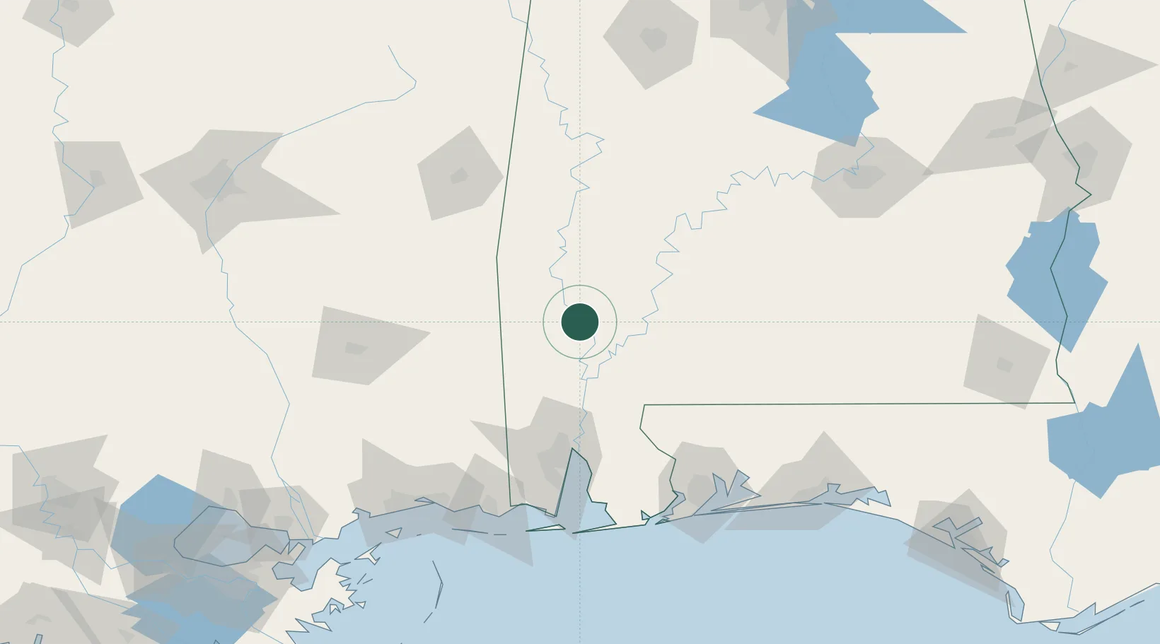
Populated place
Region
Alabama
Population
911
Time zone
America/Chicago
Elevation
49 m
Location
Nearby Logistics Neighbours
Cities
- 1Chatom26 km
- 2Perdue Hill47 km
- 3Uriah51 km
- 4Thomasville52 km
- 5Chunchula68 km
Ports
- 1Mobile92 km
- 2Pascagoula140 km
- 3Pensacola143 km
- 4Biloxi151 km
- 5Gulfport165 km
Airports
Trade Zones
- 1FTZ No. 082 Mobile91 km
- 2FTZ No. 249 Pensacola137 km
- 3FTZ No. 092 Harrison County153 km
- 4FTZ No. 222 Montgomery185 km
- 5FTZ No. 233 Dothan245 km
DatabookThe Record of Consolidated Knowledge
United States beyond logistics?