UN/LOCODE hub · United States
USTNB
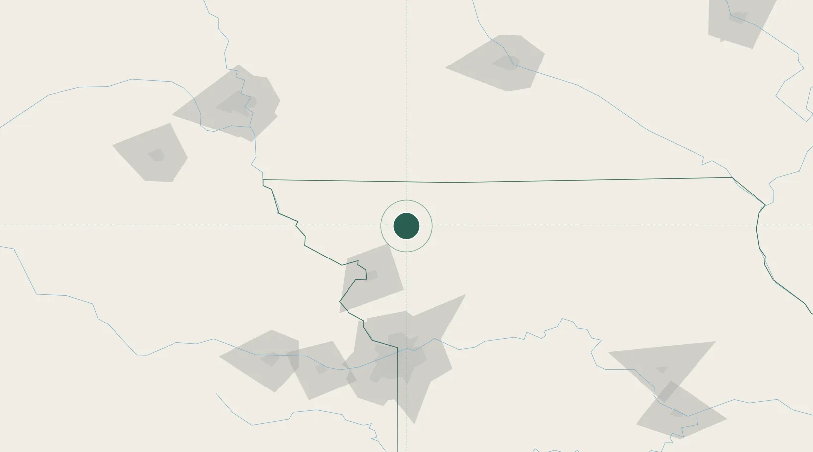
Stanberry
40.2000°, -94.5333°
1,183
Population
2
Transport functions
Transport Functions
Road
Multimodal
Hub Profile
Place type
Populated place
Region
Missouri
Population
1,183
Time zone
America/Chicago
Elevation
291 m
Location
Nearby Logistics Neighbours
Cities
- 1Ravenwood20 km
- 2Pickering39 km
- 3Wathena61 km
- 4Mount Ayr61 km
- 5Saint Joseph61 km
Ports
- 1Kaukauna687 km
- 2Port Of Memphis688 km
- 3Green Bay719 km
- 4Superior753 km
- 5Duluth756 km
Airports
Trade Zones
- 1FTZ No. 017 Kansas City126 km
- 2FTZ No. 133 Quad-Cities, Iowa Illinois152 km
- 3FTZ No. 015 Kansas City155 km
- 4FTZ No. 107 Polk County178 km
- 5FTZ No. 059 Lincoln205 km
DatabookThe Record of Consolidated Knowledge
United States beyond logistics?