UN/LOCODE hub · United States
USOUA
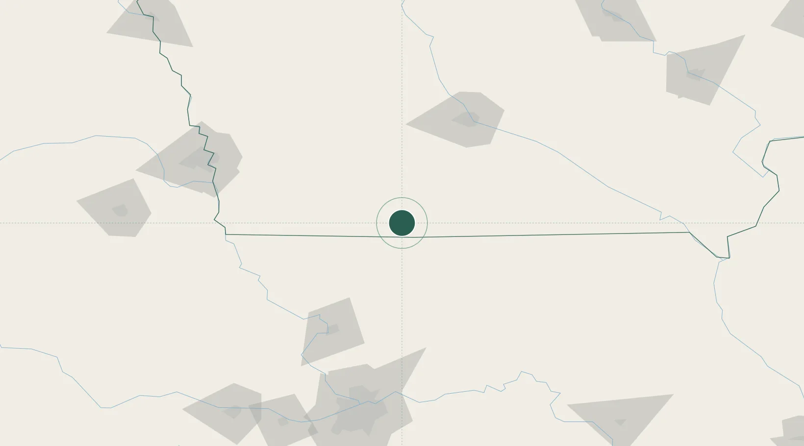
Mount Ayr
40.7000°, -94.2333°
1,686
Population
2
Transport functions
Transport Functions
Road
Multimodal
Hub Profile
Place type
Provincial seat
Region
Iowa
Population
1,686
Time zone
America/Chicago
Elevation
372 m
Location
Nearby Logistics Neighbours
Cities
- 1Lenox35 km
- 2Afton36 km
- 3Murray44 km
- 4Ravenwood53 km
- 5New Market55 km
Airports
- 1Des Moines International Airport105 km
- 2Rosecrans Memorial Airport118 km
- 3Offutt Air Force Base148 km
- 4Eppley Airfield155 km
- 5Ottumwa Regional Airport157 km
Trade Zones
- 1FTZ No. 107 Polk County117 km
- 2FTZ No. 017 Kansas City187 km
- 3FTZ No. 133 Quad-Cities, Iowa Illinois187 km
- 4FTZ No. 015 Kansas City215 km
- 5FTZ No. 059 Lincoln219 km
DatabookThe Record of Consolidated Knowledge
United States beyond logistics?