Transport Functions
Rail
Road
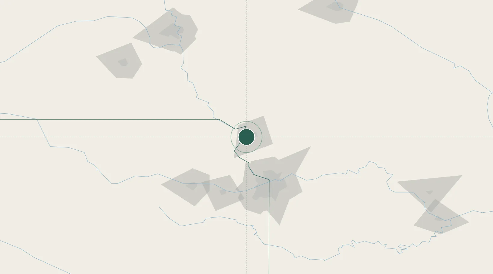
Hub Profile
Place type
Populated place
Region
Kansas
Population
1,336
Time zone
America/Chicago
Elevation
251 m
Location
Nearby Logistics Neighbours
Cities
- 1Saint Joseph7 km
- 2Platte47 km
- 3Nortonville51 km
- 4Hiawatha52 km
- 5Stanberry61 km
Ports
- 1Great Lakes659 km
- 2Chicago661 km
- 3Wilmette662 km
- 4Calumet Harbor662 km
- 5Waukegan664 km
Airports
Trade Zones
- 1FTZ No. 017 Kansas City74 km
- 2FTZ No. 015 Kansas City101 km
- 3FTZ No. 133 Quad-Cities, Iowa Illinois126 km
- 4FTZ No. 059 Lincoln199 km
- 5FTZ No. 107 Polk County237 km
DatabookThe Record of Consolidated Knowledge
United States beyond logistics?