Transport Functions
Road
Multimodal
Hub Profile
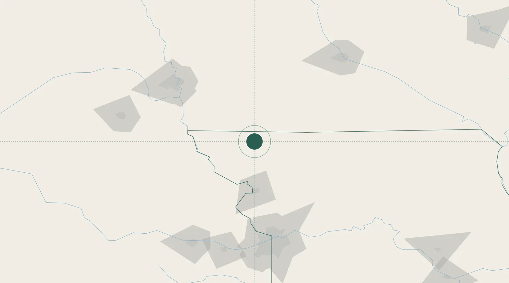
Place type
Populated place
Region
Missouri
Population
153
Time zone
America/Chicago
Elevation
318 m
Location
Nearby Logistics Neighbours
Cities
- 1Ravenwood19 km
- 2New Market30 km
- 3Stanberry39 km
- 4Fairfax47 km
- 5Villisca53 km
Ports
- 1Kaukauna688 km
- 2Green Bay720 km
- 3Port Of Memphis726 km
- 4Superior734 km
- 5Duluth736 km
Airports
- 1Rosecrans Memorial Airport76 km
- 2Offutt Air Force Base116 km
- 3Kansas City International Airport128 km
- 4Eppley Airfield129 km
- 5Charles B. Wheeler Downtown Airport149 km
Trade Zones
- 1FTZ No. 133 Quad-Cities, Iowa Illinois129 km
- 2FTZ No. 017 Kansas City151 km
- 3FTZ No. 107 Polk County166 km
- 4FTZ No. 059 Lincoln172 km
- 5FTZ No. 015 Kansas City179 km
DatabookThe Record of Consolidated Knowledge
United States beyond logistics?