UN/LOCODE hub · United States
USSTJ
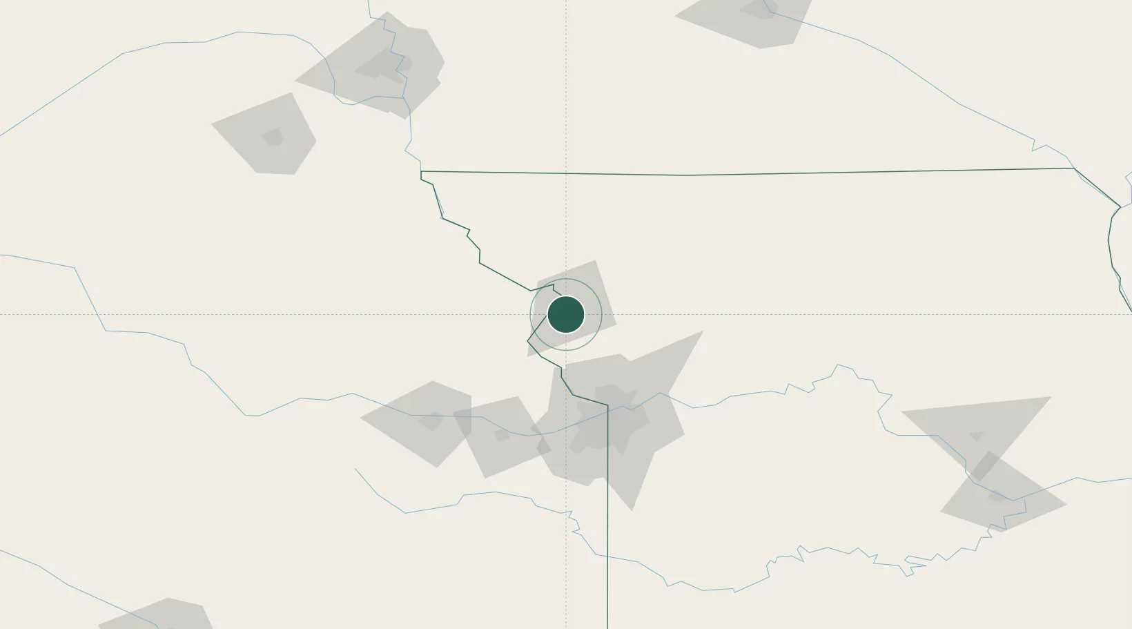
Saint Joseph
39.7141°, -94.8720°
76,780
Population
3
Transport functions
Transport Functions
Rail
Road
Airport
Hub Profile
Place type
Provincial seat
Region
Missouri
Population
76,780
Time zone
America/Chicago
Elevation
270 m
Logistics facilities
1
Location
Nearby Logistics Neighbours
Cities
- 1Wathena7 km
- 2Platte42 km
- 3Nortonville52 km
- 4Hiawatha59 km
- 5Parkville59 km
Ports
- 1Great Lakes657 km
- 2Chicago658 km
- 3Wilmette659 km
- 4Calumet Harbor659 km
- 5Waukegan661 km
Airports
Trade Zones
- 1FTZ No. 017 Kansas City69 km
- 2FTZ No. 015 Kansas City97 km
- 3FTZ No. 133 Quad-Cities, Iowa Illinois133 km
- 4FTZ No. 059 Lincoln206 km
- 5FTZ No. 107 Polk County239 km
DatabookThe Record of Consolidated Knowledge
United States beyond logistics?