Medium airport · United States

Charles B. Wheeler Downtown AirportKMKC
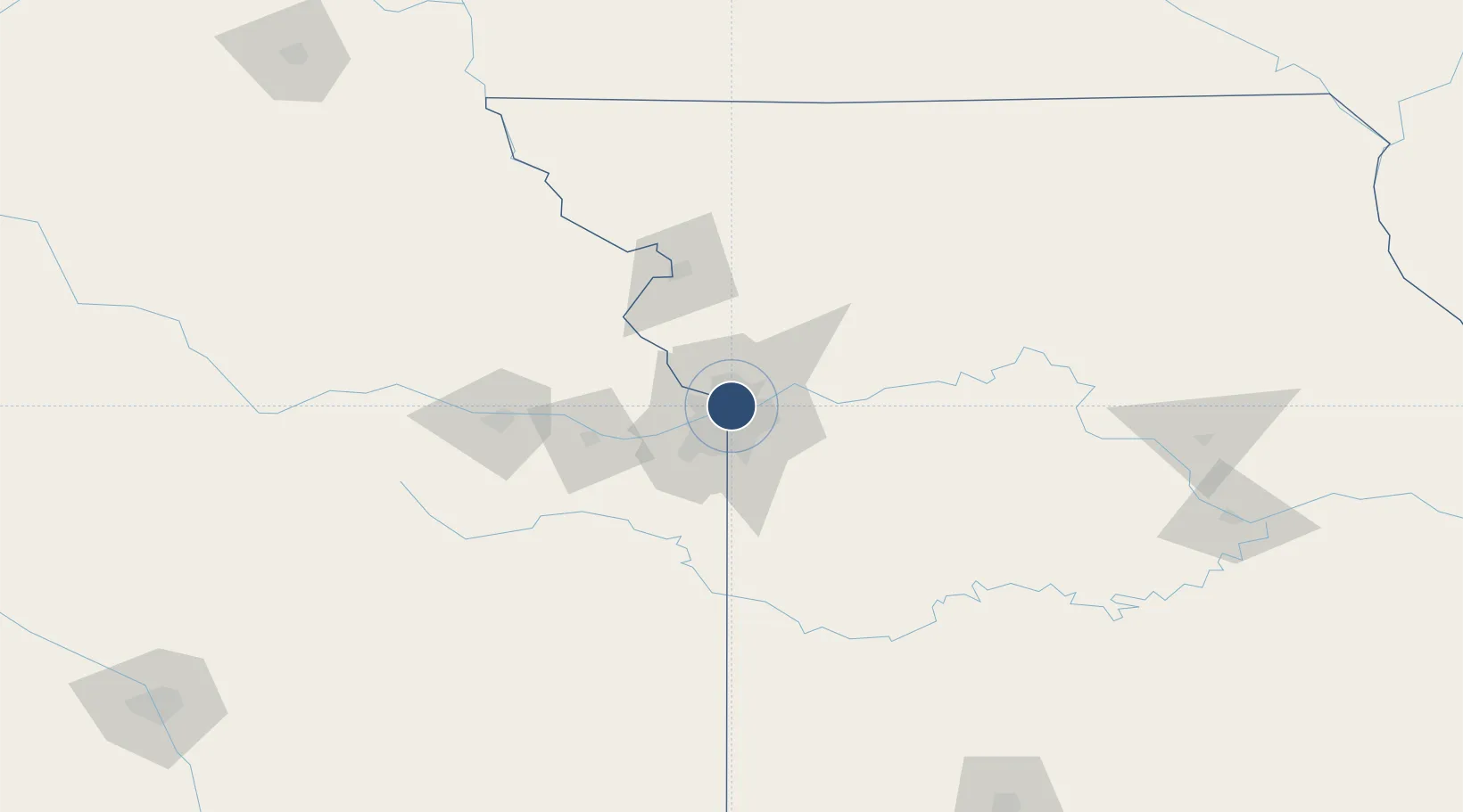
39.1232°, -94.5928°
6,827 ft
Longest runway
2
Runways
759 ft
Elevation

Runway & Layout

Charles B. Wheeler Downtown Airport runway & taxiway layout
Runway & taxiway layout — OpenStreetMap (ODbL) / OurAirports

Radio Frequencies

ATIS
120.75 MHz
TWR
133.3 MHz
DOWNTOWN TWR
GND
121.9 MHz
CLD
121.9 MHz
CLNC DEL
A/D
119 MHz
APP/DEP
RDO
122.6 MHz
COLUMBIA RDO
UNIC
122.95 MHz
UNICOM
OurAirports

Navaids

MK NDB Kenzy 344 kHz
RIS VOR-DME Riverside 111.40 MHz
OurAirports

Runways · 2

RunwayDimensions SurfaceTrue headingLit
01/19 6,827 × 150ft Concrete 013°
04/22 5,050 × 100ft Asphalt 038°
OurAirports

Airport Specifications

IATA code
MKC
OurAirports
ICAO code
KMKC
OurAirports
Airport class
Medium airport
OurAirports
Scheduled service
No
OurAirports
Runway surface
Concrete
OurAirports
Served city
Kansas City
OurAirports

Location

Location of KMKC
Natural Earth 10m (public domain) · Missouri · KMKC · 39.12, -94.59GoogleOSMYandex

Nearby Logistics Neighbours

Airports
  1. 1Kansas City International Airport22 km
  2. 2Rosecrans Memorial Airport77 km
  3. 3Philip Billard Municipal Airport89 km
  4. 4Topeka Regional Airport94 km
  5. 5Whiteman Air Force Base100 km
Nearest neighbours — logibook spatial index (haversine) over the source coordinates
Cities
  1. 1Riverside5 km
  2. 2Northmoor7 km
  3. 3Gladstone11 km
  4. 4Parkville12 km
  5. 5Muncie13 km
Nearest neighbours — logibook spatial index (haversine) over the source coordinates
Ports
  1. 1Port Of Memphis598 km
  2. 2Calumet Harbor665 km
  3. 3Chicago666 km
  4. 4Indiana Harbor669 km
  5. 5Wilmette670 km
Nearest neighbours — logibook spatial index (haversine) over the source coordinates
Trade Zones
  1. 1FTZ No. 017 Kansas City23 km
  2. 2FTZ No. 015 Kansas City41 km
  3. 3FTZ No. 133 Quad-Cities, Iowa Illinois187 km
  4. 4FTZ No. 225 Springfield248 km
  5. 5FTZ No. 059 Lincoln267 km
Nearest neighbours — logibook spatial index (haversine) over the source coordinates
DatabookThe Record of Consolidated Knowledge
United States beyond logistics?
Browse databook

All Sources

AirportsOurAirports
Public domain
Portsthe NGA World Port Index
Public domain (US gov)
LocationsUN/LOCODE
UN/LOCODE — free
Trade Zonesthe World Bank SEZ database
CC BY 4.0
Trade ZonesOpen Zone Map
CC BY
InfrastructureOpenStreetMap
ODbL 1.0
← United States airports