Transport Functions
Multimodal
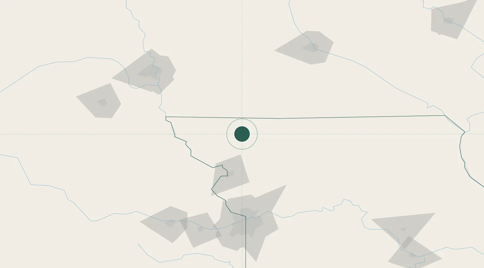
Hub Profile
Place type
Populated place
Region
Missouri
Population
411
Time zone
America/Chicago
Elevation
314 m
Location
Nearby Logistics Neighbours
Cities
- 1Pickering19 km
- 2Stanberry20 km
- 3New Market45 km
- 4Mount Ayr53 km
- 5Lenox60 km
Ports
- 1Kaukauna684 km
- 2Port Of Memphis708 km
- 3Green Bay716 km
- 4Superior740 km
- 5Duluth743 km
Airports
- 1Rosecrans Memorial Airport68 km
- 2Kansas City International Airport117 km
- 3Offutt Air Force Base135 km
- 4Charles B. Wheeler Downtown Airport137 km
- 5Eppley Airfield148 km
Trade Zones
- 1FTZ No. 017 Kansas City141 km
- 2FTZ No. 133 Quad-Cities, Iowa Illinois142 km
- 3FTZ No. 107 Polk County167 km
- 4FTZ No. 015 Kansas City169 km
- 5FTZ No. 059 Lincoln190 km
DatabookThe Record of Consolidated Knowledge
United States beyond logistics?