Transport Functions
Rail
Road
Multimodal
Hub Profile
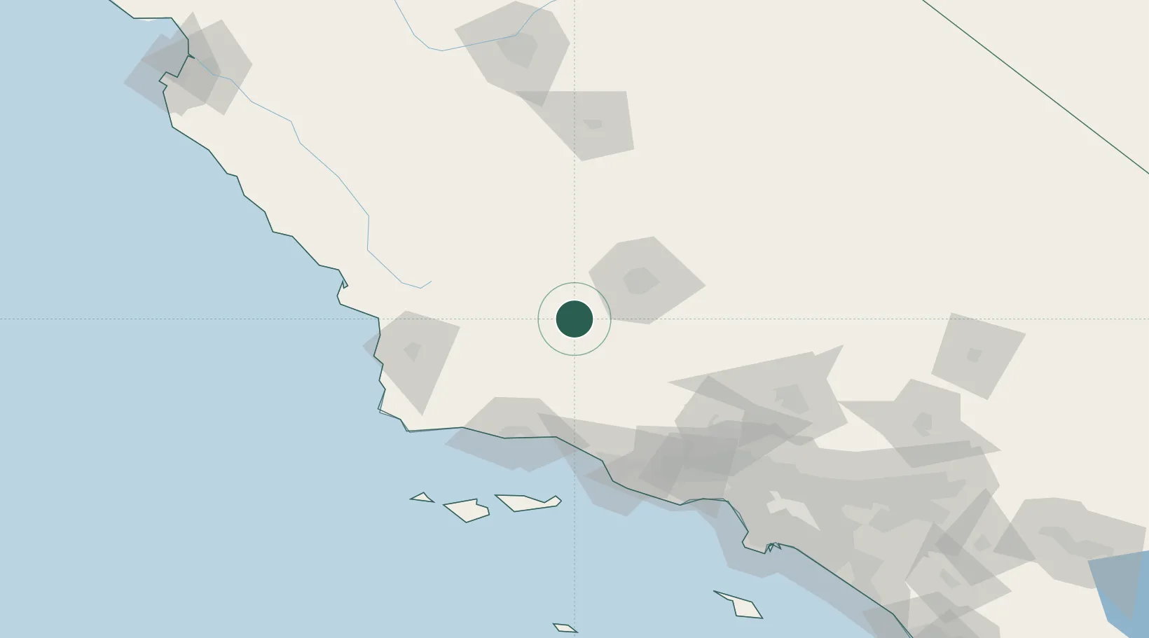
Place type
Populated place
Region
California
Population
9,495
Time zone
America/Los_Angeles
Elevation
291 m
Location
Nearby Logistics Neighbours
Cities
- 1Maricopa10 km
- 2Buttonwillow30 km
- 3Shafter, Kern44 km
- 4Lost Hills58 km
- 5Lebec64 km
Ports
- 1Santa Barbara83 km
- 2Carpinteria84 km
- 3Ellwood89 km
- 4Ventura96 km
- 5Pismo Beach109 km
Airports
Trade Zones
- 1FTZ No. 276 Kern County48 km
- 2FTZ No. 205 Port Hueneme112 km
- 3FTZ No. 191 Palmdale137 km
- 4FTZ No. 202 Los Angeles188 km
- 5FTZ No. 050 Long Beach190 km
DatabookThe Record of Consolidated Knowledge
United States beyond logistics?