Transport Functions
Port
Road
Hub Profile
Place type
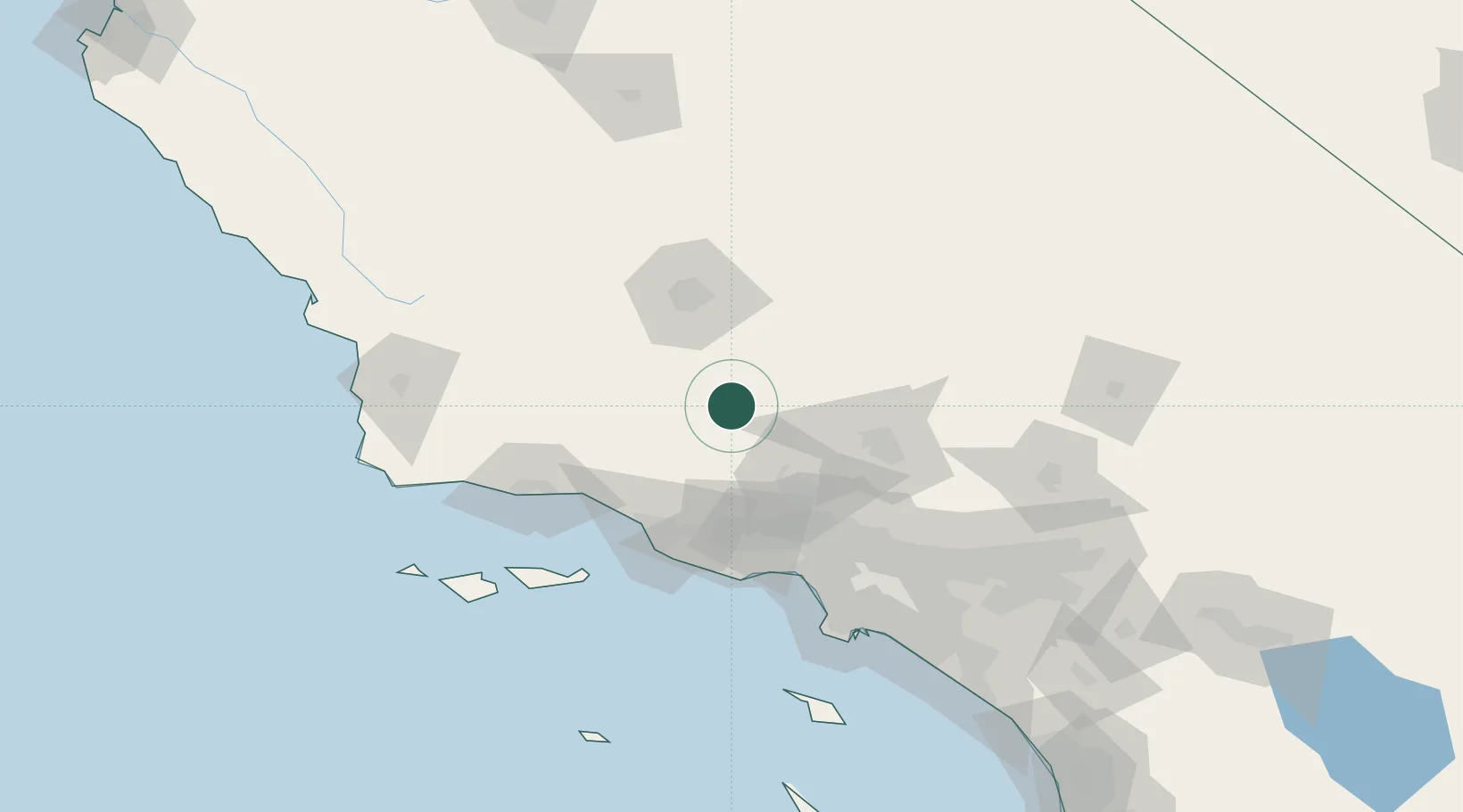
Populated place
Region
California
Population
1,468
Time zone
America/Los_Angeles
Elevation
1,061 m
Location
Nearby Logistics Neighbours
Ports
- 1Ventura73 km
- 2Carpinteria79 km
- 3Port Hueneme83 km
- 4Santa Barbara89 km
- 5Ellwood107 km
Airports
Trade Zones
- 1FTZ No. 276 Kern County62 km
- 2FTZ No. 191 Palmdale73 km
- 3FTZ No. 205 Port Hueneme82 km
- 4FTZ No. 050 Long Beach131 km
- 5FTZ No. 202 Los Angeles132 km
DatabookThe Record of Consolidated Knowledge
United States beyond logistics?