UN/LOCODE hub · United States
USTSO
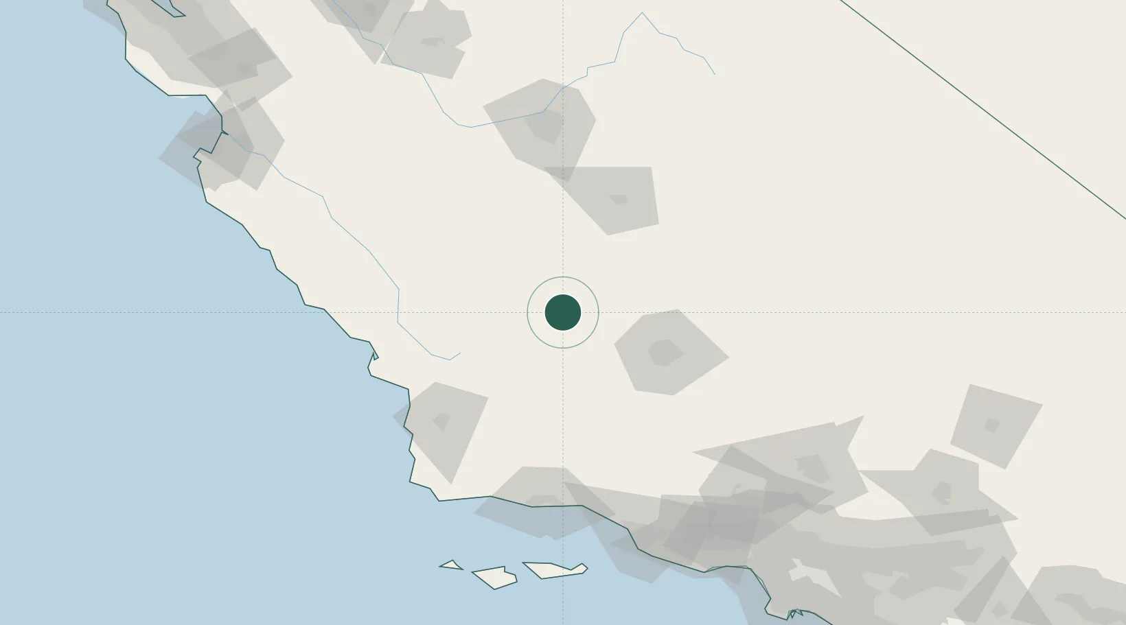
Lost Hills
35.6167°, -119.6833°
2,412
Population
3
Transport functions
Transport Functions
Port
Road
Multimodal
Hub Profile
Place type
Populated place
Region
California
Population
2,412
Time zone
America/Los_Angeles
Elevation
93 m
Logistics facilities
1
Location
Nearby Logistics Neighbours
Cities
- 1Buttonwillow31 km
- 2Shafter, Kern40 km
- 3Kettleman City49 km
- 4Richgrove57 km
- 5Taft58 km
Ports
- 1Pismo Beach103 km
- 2Port San Luis109 km
- 3Morro Bay109 km
- 4Ellwood133 km
- 5Santa Barbara133 km
Airports
Trade Zones
- 1FTZ No. 276 Kern County66 km
- 2FTZ No. 205 Port Hueneme169 km
- 3FTZ No. 191 Palmdale184 km
- 4FTZ No. 226 Merced, Madera and Fresno Counties201 km
- 5FTZ No. 243 Victorville239 km
DatabookThe Record of Consolidated Knowledge
United States beyond logistics?