Medium airport · United States
Bakersfield International AirportKL45
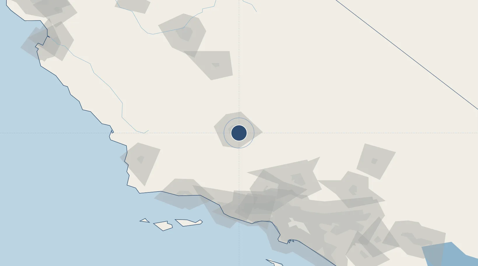
35.3248°, -118.9960°
4,000 ft
Longest runway
1
Runways
378 ft
Elevation
Runway & Layout

Radio Frequencies
A/D
126.45 MHz
APP/DEP
RDO
122.45 MHz
RANCHO MURIETA RDO
UNIC
122.8 MHz
CTAF/UNICOM
Runways · 1
| Runway | Dimensions | Surface | True heading | Lit |
|---|---|---|---|---|
| 16/34 | 4,000 × 75ft | Asphalt | 175° | ✓ |
Airport Specifications
Airport class
Medium airport
Scheduled service
No
Runway surface
Asphalt
Served city
Bakersfield
Location
Nearby Logistics Neighbours
Airports
- 1Meadows Field13 km
- 2Mojave Air & Space Port83 km
- 3California City Municipal Airport91 km
- 4General William J Fox Airfield96 km
- 5Edwards Air Force Base111 km
Cities
- 1Shafter, Kern31 km
- 2Buttonwillow44 km
- 3Taft46 km
- 4Maricopa48 km
- 5Richgrove54 km
Ports
- 1Carpinteria115 km
- 2Ventura119 km
- 3Santa Barbara119 km
- 4Ellwood130 km
- 5Port Hueneme132 km
Trade Zones
- 1FTZ No. 276 Kern County6 km
- 2FTZ No. 191 Palmdale116 km
- 3FTZ No. 205 Port Hueneme132 km
- 4FTZ No. 243 Victorville169 km
- 5FTZ No. 050 Long Beach186 km
DatabookThe Record of Consolidated Knowledge
United States beyond logistics?