Medium airport · United States
Meadows FieldKBFL
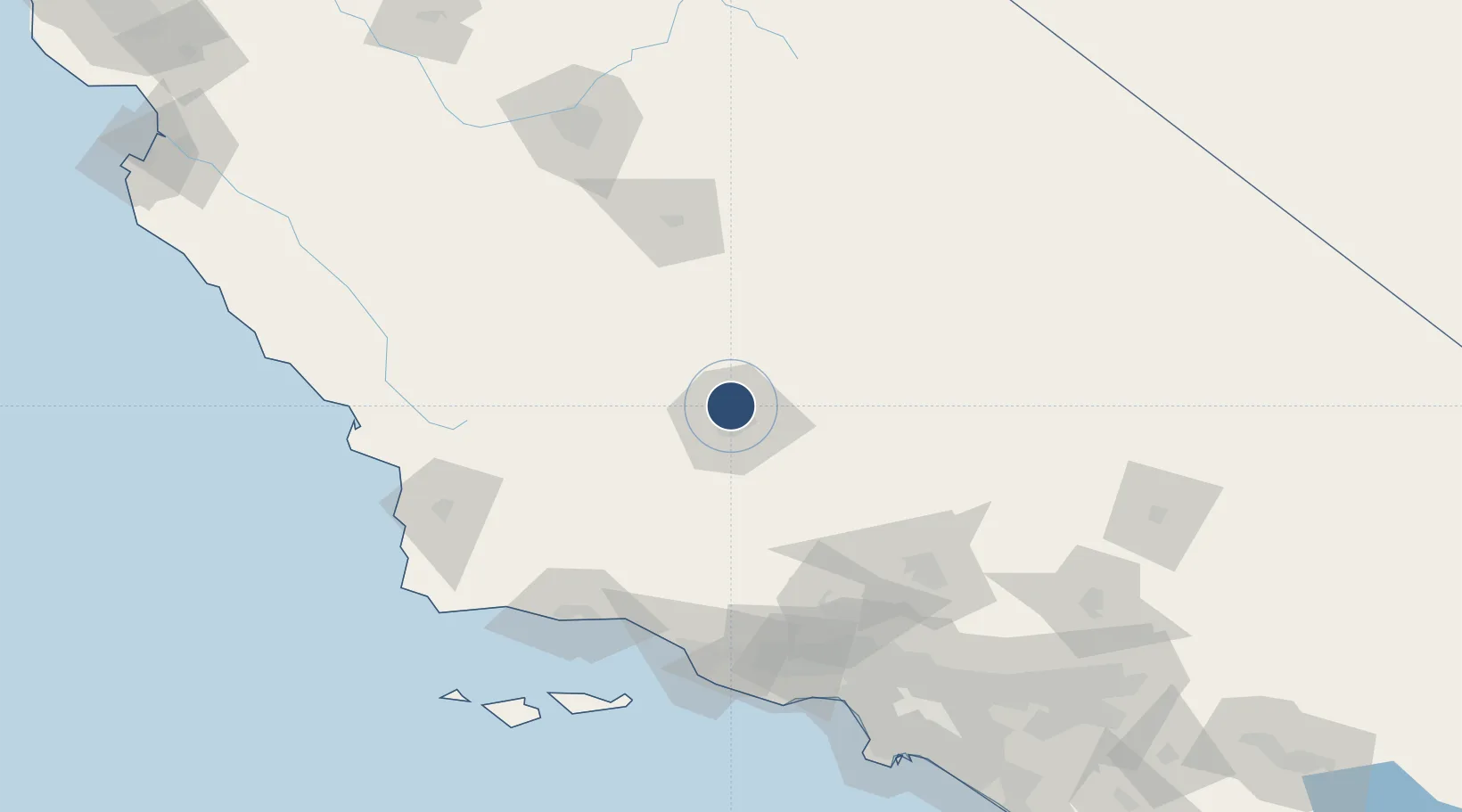
35.4336°, -119.0570°
10,849 ft
Longest runway
2
Runways
510 ft
Elevation
Runway & Layout

Radio Frequencies
ATIS
118.6 MHz
TWR
118.1 MHz
BAKERSFIELD TWR
GND
121.7 MHz
APP
118.8 MHz
BAKERSFIELD APP SOUTH INITIAL CONTACT
APP
118.9 MHz
BAKERSFIELD APP NORTH INITIAL CONTACT
DEP
126.45 MHz
BAKERSFIELD DEP
CTAF
118.1 MHz
CTR
127.1 MHz
LOS ANGELES CENTER
RDO
122.45 MHz
RANCHO RDO
UNIC
122.95 MHz
UNICOM
Navaids
BF NDB Niley 385 kHz
Runways · 2
| Runway | Dimensions | Surface | True heading | Lit |
|---|---|---|---|---|
| 12L/30R | 10,849 × 150ft | Asphalt | 135° | ✓ |
| 12R/30L | 7,700 × 100ft | Asphalt | 136° | ✓ |
Airport Specifications
IATA code
BFL
ICAO code
KBFL
Airport class
Medium airport
Scheduled service
Yes
Runway surface
Asphalt
Served city
Bakersfield
Location
Nearby Logistics Neighbours
Airports
Cities
- 1Shafter, Kern20 km
- 2Buttonwillow37 km
- 3Richgrove41 km
- 4Taft49 km
- 5Ducor50 km
Ports
- 1Carpinteria124 km
- 2Santa Barbara127 km
- 3Ventura130 km
- 4Ellwood136 km
- 5Port Hueneme143 km
Trade Zones
- 1FTZ No. 276 Kern County8 km
- 2FTZ No. 191 Palmdale128 km
- 3FTZ No. 205 Port Hueneme143 km
- 4FTZ No. 243 Victorville180 km
- 5FTZ No. 050 Long Beach199 km
DatabookThe Record of Consolidated Knowledge
United States beyond logistics?