UN/LOCODE hub · United States
USSH3

Shafter, Kern

35.5000°, -119.2667°
2
Transport functions

Transport Functions

Rail
Road
UN/LOCODE

Hub Profile

Region
CA
GeoNames

Location

Location of USSH3
Natural Earth 10m (public domain) · CA · USSH3 · 35.50, -119.27GoogleOSMYandex

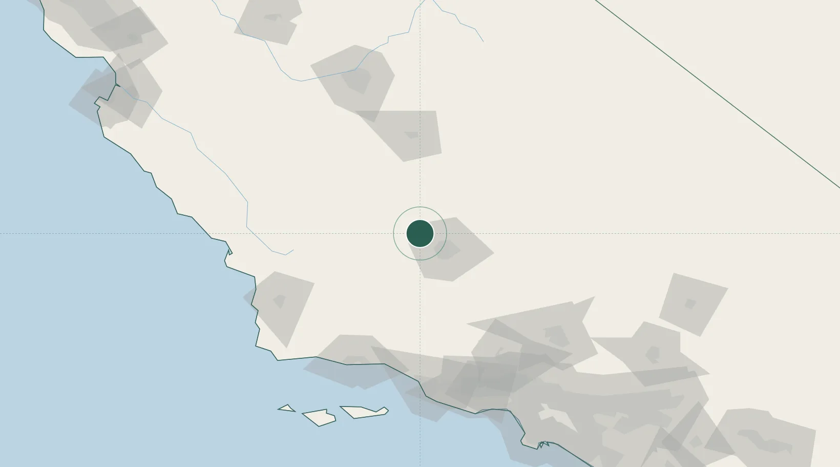
Nearby Logistics Neighbours

Cities
  1. 1Buttonwillow21 km
  2. 2Richgrove37 km
  3. 3Lost Hills40 km
  4. 4Taft44 km
  5. 5Ducor48 km
Nearest neighbours — logibook spatial index (haversine) over the source coordinates
Ports
  1. 1Carpinteria126 km
  2. 2Santa Barbara126 km
  3. 3Pismo Beach132 km
  4. 4Ellwood133 km
  5. 5Ventura135 km
Nearest neighbours — logibook spatial index (haversine) over the source coordinates
Airports
  1. 1Meadows Field20 km
  2. 2Bakersfield International Airport31 km
  3. 3Visalia Municipal Airport92 km
  4. 4Lemoore Naval Air Station (Reeves Field) Airport111 km
  5. 5Mojave Air & Space Port113 km
Nearest neighbours — logibook spatial index (haversine) over the source coordinates
Trade Zones
  1. 1FTZ No. 276 Kern County27 km
  2. 2FTZ No. 191 Palmdale147 km
  3. 3FTZ No. 205 Port Hueneme150 km
  4. 4FTZ No. 243 Victorville200 km
  5. 5FTZ No. 050 Long Beach214 km
Nearest neighbours — logibook spatial index (haversine) over the source coordinates
DatabookThe Record of Consolidated Knowledge
United States beyond logistics?
Browse databook

All Sources

LocationsUN/LOCODE
UN/LOCODE — free
Portsthe NGA World Port Index
Public domain (US gov)
AirportsOurAirports
Public domain
Trade Zonesthe World Bank SEZ database
CC BY 4.0
Trade ZonesOpen Zone Map
CC BY
← United States locations