UN/LOCODE hub · United States
USBIM
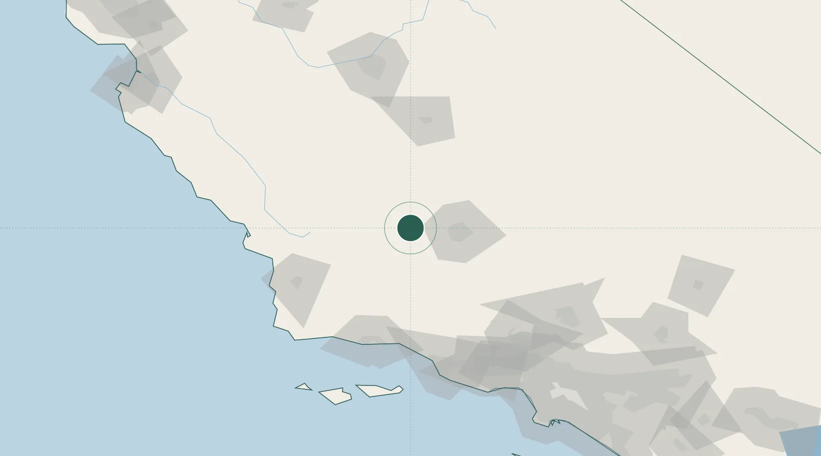
Buttonwillow
35.4000°, -119.4667°
1,508
Population
3
Transport functions
Transport Functions
Rail
Road
Multimodal
Hub Profile
Place type
Populated place
Region
California
Population
1,508
Time zone
America/Los_Angeles
Elevation
82 m
Location
Nearby Logistics Neighbours
Cities
- 1Shafter, Kern21 km
- 2Taft30 km
- 3Lost Hills31 km
- 4Maricopa39 km
- 5Richgrove56 km
Ports
- 1Santa Barbara111 km
- 2Pismo Beach111 km
- 3Carpinteria113 km
- 4Ellwood115 km
- 5Port San Luis119 km
Airports
Trade Zones
- 1FTZ No. 276 Kern County41 km
- 2FTZ No. 205 Port Hueneme141 km
- 3FTZ No. 191 Palmdale153 km
- 4FTZ No. 243 Victorville211 km
- 5FTZ No. 202 Los Angeles214 km
DatabookThe Record of Consolidated Knowledge
United States beyond logistics?