UN/LOCODE hub · United States
USAIC
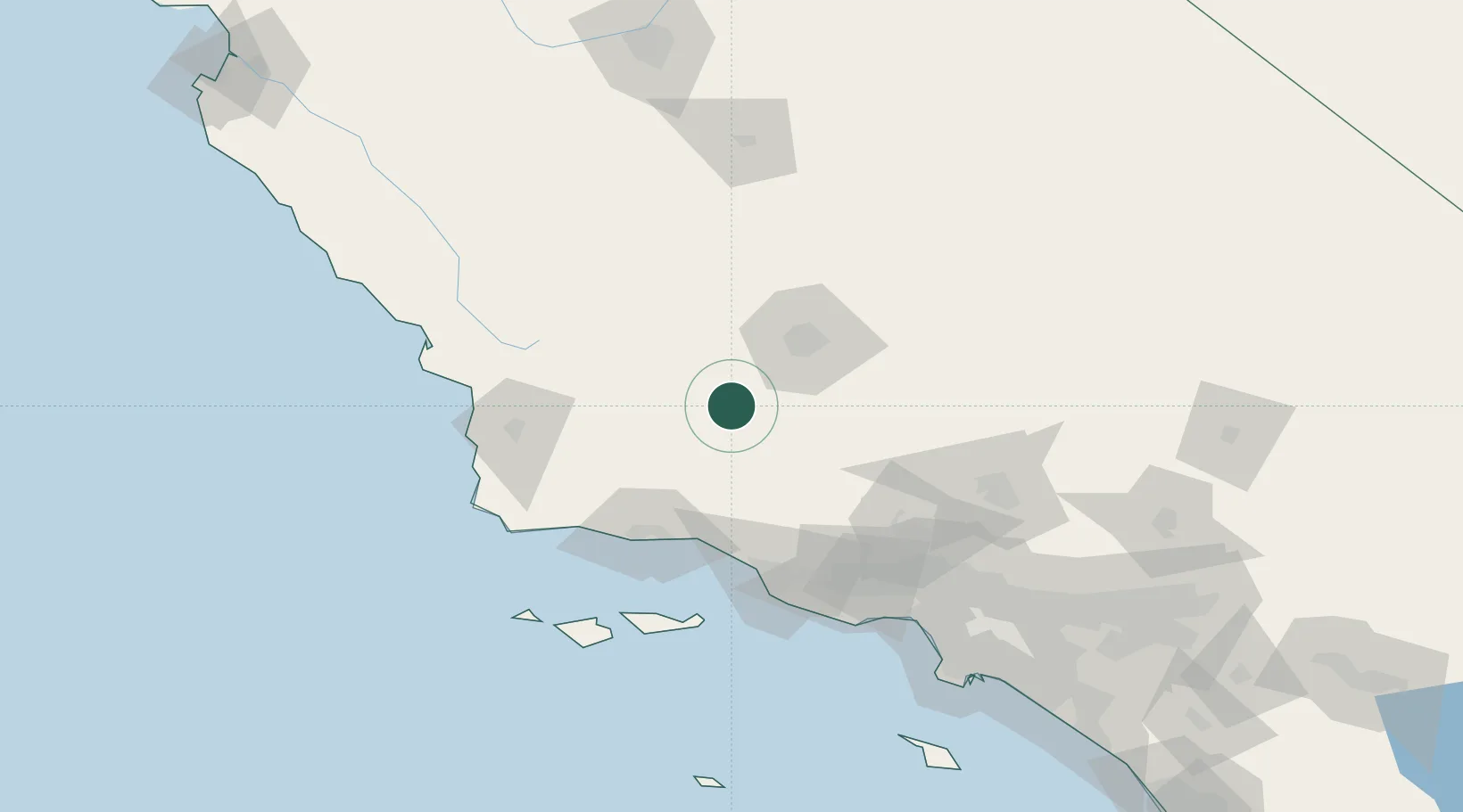
Maricopa
35.0500°, -119.4000°
1,192
Population
2
Transport functions
Transport Functions
Road
Multimodal
Hub Profile
Place type
Populated place
Region
California
Population
1,192
Time zone
America/Los_Angeles
Elevation
269 m
Location
Nearby Logistics Neighbours
Cities
- 1Taft10 km
- 2Buttonwillow39 km
- 3Shafter, Kern52 km
- 4Lebec56 km
- 5Lost Hills68 km
Ports
- 1Carpinteria75 km
- 2Santa Barbara75 km
- 3Ellwood83 km
- 4Ventura86 km
- 5Port Hueneme102 km
Airports
Trade Zones
- 1FTZ No. 276 Kern County50 km
- 2FTZ No. 205 Port Hueneme102 km
- 3FTZ No. 191 Palmdale128 km
- 4FTZ No. 202 Los Angeles178 km
- 5FTZ No. 050 Long Beach180 km
DatabookThe Record of Consolidated Knowledge
United States beyond logistics?