Transport Functions
Rail
Road
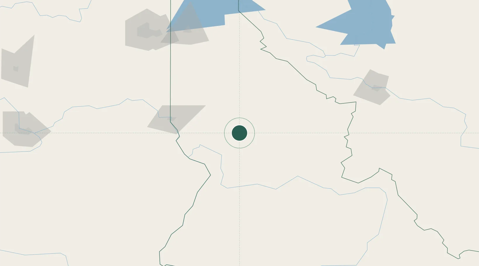
Hub Profile
Place type
Populated place
Region
Idaho
Population
1,273
Time zone
America/Los_Angeles
Elevation
378 m
Location
Nearby Logistics Neighbours
Ports
- 1The Dalles404 km
- 2Washougal494 km
- 3Camas498 km
- 4Tacoma500 km
- 5Seattle503 km
Airports
Trade Zones
- 1FTZ No. 224 Spokane196 km
- 2FTZ No. 274 Butte-Silver Bow243 km
- 3FTZ No. 275 Lansing270 km
- 4FTZ No. 203 Moses Lake272 km
- 5FTZ No. 242 Boundary County288 km
DatabookThe Record of Consolidated Knowledge
United States beyond logistics?