Transport Functions
Road
Multimodal
Hub Profile
Place type
Populated place
Region
Idaho
Time zone
America/Los_Angeles
Elevation
1,398 m
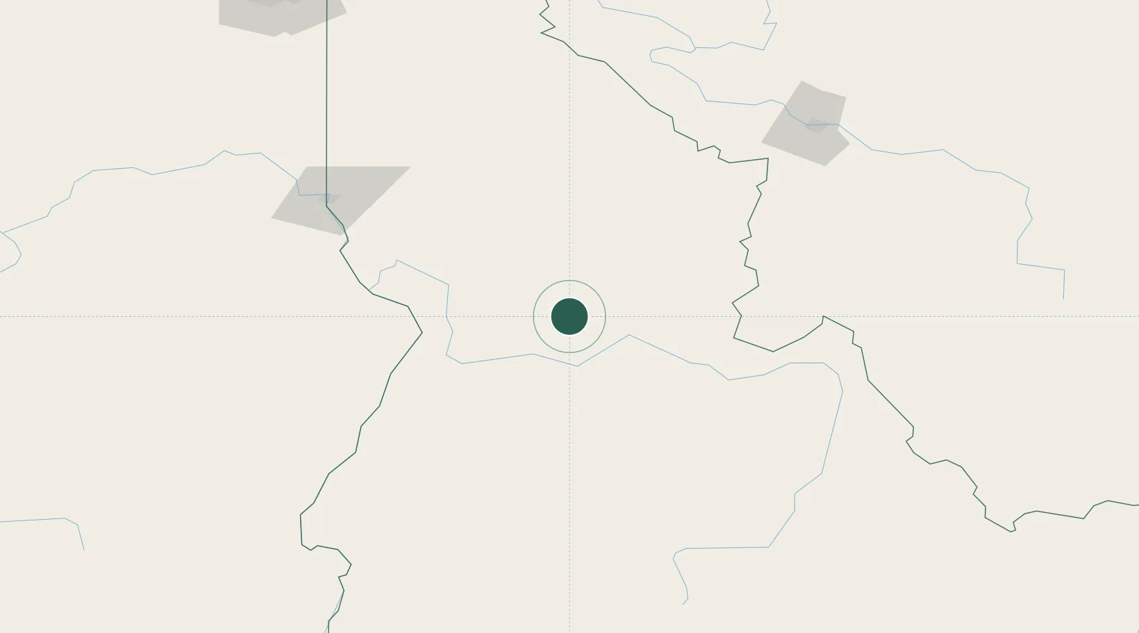
Location
Nearby Logistics Neighbours
Ports
- 1The Dalles438 km
- 2Washougal529 km
- 3Camas533 km
- 4Portland554 km
- 5Tacoma554 km
Airports
- 1McCall Municipal Airport100 km
- 2Lewiston Nez Perce County Airport136 km
- 3Lemhi County Airport145 km
- 4Pullman-Moscow Regional Airport167 km
- 5Stanley Airport173 km
Trade Zones
- 1FTZ No. 274 Butte-Silver Bow205 km
- 2FTZ No. 275 Lansing236 km
- 3FTZ No. 224 Spokane264 km
- 4FTZ No. 280 Ada and Canyon Counties273 km
- 5FTZ No. 203 Moses Lake331 km
DatabookThe Record of Consolidated Knowledge
United States beyond logistics?