Medium airport · United States
Lemhi County AirportKSMN
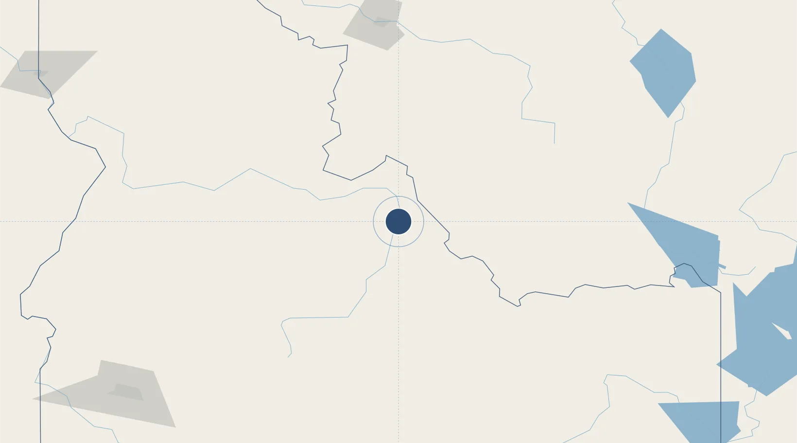
45.1222°, -113.8820°
5,510 ft
Longest runway
1
Runways
4,043 ft
Elevation
Runway & Layout

Radio Frequencies
AWOS
135.075 MHz
AWOS 3
CNTR
132.4 MHz
SALT LAKE CITY CNTR
RDO
122.55 MHz
BOISE RDO
UNIC
122.8 MHz
CTAF/UNICOM
Runways · 1
| Runway | Dimensions | Surface | True heading | Lit |
|---|---|---|---|---|
| 17/35 | 5,510 × 75ft | Asphalt | 188° | ✓ |
Airport Specifications
IATA code
SMN
ICAO code
KSMN
Airport class
Medium airport
Scheduled service
Yes
Runway surface
Asphalt
Served city
Salmon
Location
Nearby Logistics Neighbours
Airports
- 1Stanley Airport131 km
- 2Bert Mooney Airport142 km
- 3Friedman Memorial Airport183 km
- 4Missoula Montana Airport200 km
- 5Helena Regional Airport221 km
Cities
- 1Garden City74 km
- 2Corvallis132 km
- 3Orogrande145 km
- 4Stevensville154 km
- 5Ketchum166 km
Ports
- 1The Dalles573 km
- 2Washougal663 km
- 3Camas667 km
- 4Portland688 km
- 5Vancouver689 km
Trade Zones
- 1FTZ No. 274 Butte-Silver Bow115 km
- 2FTZ No. 275 Lansing144 km
- 3FTZ No. 280 Ada and Canyon Counties311 km
- 4FTZ No. 088 Great Falls324 km
- 5FTZ No. 224 Spokane396 km
DatabookThe Record of Consolidated Knowledge
United States beyond logistics?