Medium airport · United States
Lewiston Nez Perce County AirportKLWS
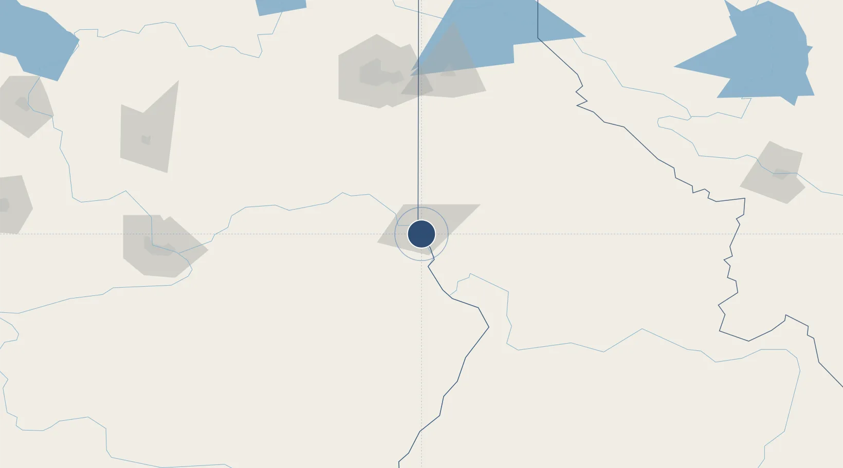
46.3745°, -117.0150°
6,511 ft
Longest runway
2
Runways
1,442 ft
Elevation
Runway & Layout

Radio Frequencies
ASOS
135.575 MHz
TWR
119.4 MHz
GND
121.9 MHz
CTAF
119.4 MHz
CNTR
123.95 MHz
SEATTLE CNTR
RDO
122.35 MHz
BOISE RDO
UNIC
122.95 MHz
UNICOM
Runways · 2
| Runway | Dimensions | Surface | True heading | Lit |
|---|---|---|---|---|
| 08/26 | 6,511 × 150ft | Asphalt | 099° | ✓ |
| 12/30 | 5,003 × 75ft | ASPH-G | 131° | ✓ |
Airport Specifications
IATA code
LWS
ICAO code
KLWS
Airport class
Medium airport
Scheduled service
Yes
Runway surface
Asphalt
Served city
Lewiston
Location
Nearby Logistics Neighbours
Airports
- 1Pullman-Moscow Regional Airport42 km
- 2Walla Walla Regional Airport103 km
- 3Spokane International Airport144 km
- 4Fairchild Air Force Base146 km
- 5Felts Field147 km
Ports
- 1The Dalles333 km
- 2Washougal421 km
- 3Tacoma423 km
- 4Camas425 km
- 5Seattle426 km
Trade Zones
- 1FTZ No. 224 Spokane149 km
- 2FTZ No. 203 Moses Lake196 km
- 3FTZ No. 242 Boundary County265 km
- 4FTZ No. 274 Butte-Silver Bow320 km
- 5FTZ No. 280 Ada and Canyon Counties320 km
DatabookThe Record of Consolidated Knowledge
United States beyond logistics?