Transport Functions
Rail
Road
Multimodal
Hub Profile
Place type
Populated place
Region
Alabama
Time zone
America/Chicago
Elevation
41 m
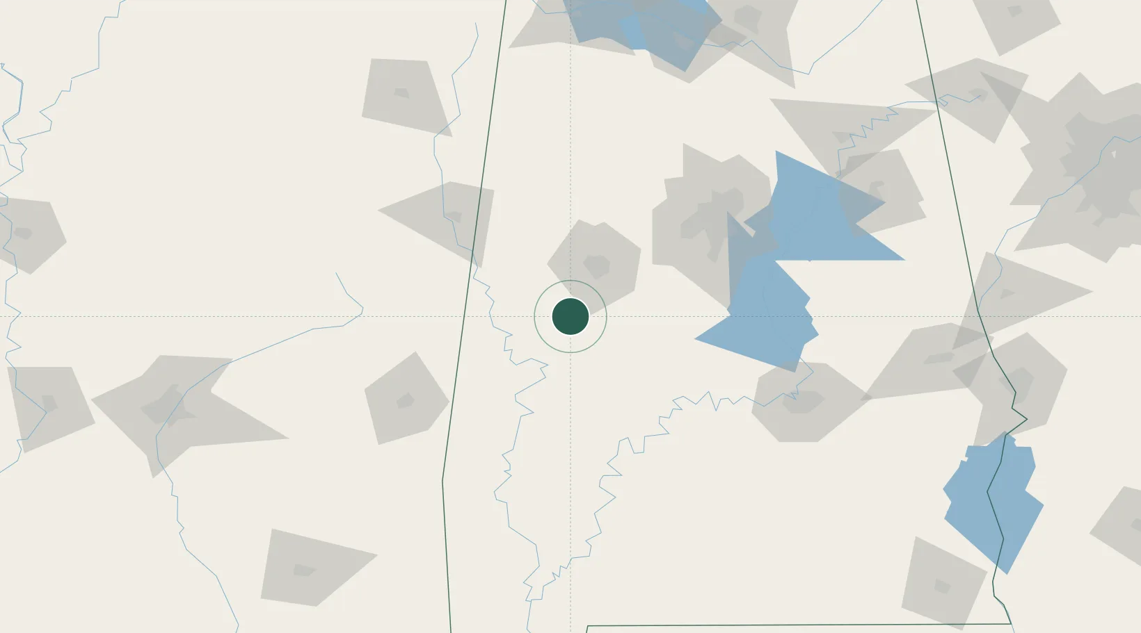
Location
Nearby Logistics Neighbours
Cities
- 1Eutaw17 km
- 2Greensboro25 km
- 3Cottondale41 km
- 4Brent52 km
- 5Carrollton53 km
Ports
- 1Mobile250 km
- 2Pensacola282 km
- 3Pascagoula295 km
- 4Biloxi301 km
- 5Gulfport312 km
Airports
Trade Zones
- 1FTZ No. 098 Birmingham108 km
- 2FTZ No. 222 Montgomery143 km
- 3FTZ No. 270 Lawrence County207 km
- 4FTZ No. 265 Conroe (Montgomery County)208 km
- 5FTZ No. 083 Huntsville212 km
DatabookThe Record of Consolidated Knowledge
United States beyond logistics?