Transport Functions
Rail
Road
Multimodal
Hub Profile
Place type
Populated place
Region
Alabama
Time zone
America/Chicago
Elevation
105 m
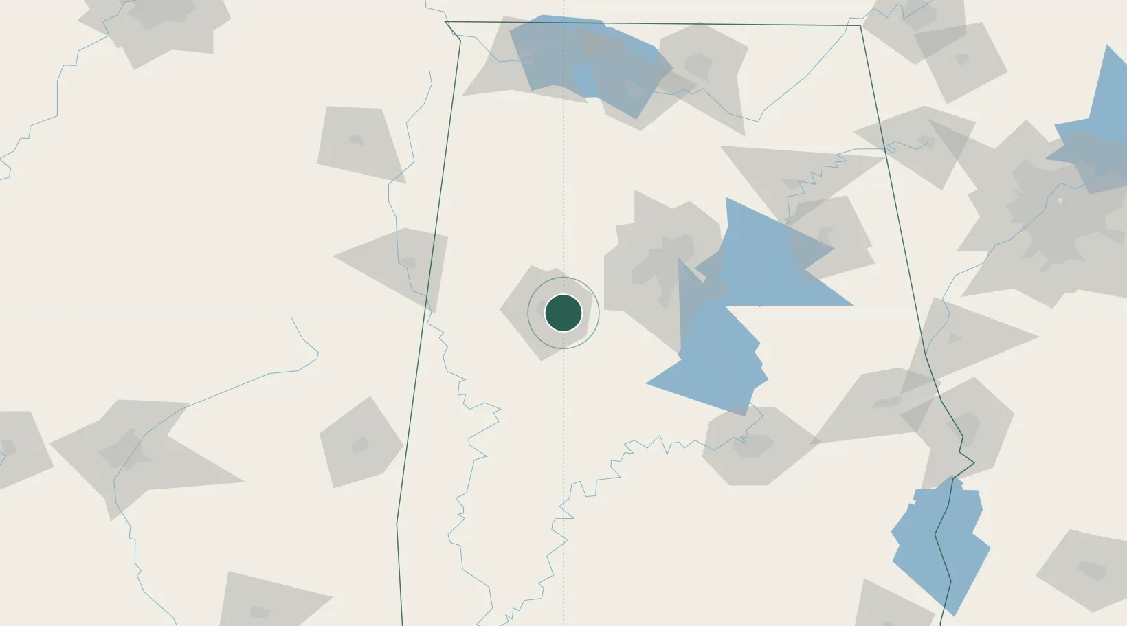
Location
Nearby Logistics Neighbours
Ports
- 1Mobile287 km
- 2Pensacola312 km
- 3Port Of Memphis325 km
- 4Pascagoula334 km
- 5Biloxi341 km
Airports
Trade Zones
- 1FTZ No. 098 Birmingham69 km
- 2FTZ No. 222 Montgomery141 km
- 3FTZ No. 270 Lawrence County168 km
- 4FTZ No. 265 Conroe (Montgomery County)169 km
- 5FTZ No. 083 Huntsville173 km
DatabookThe Record of Consolidated Knowledge
United States beyond logistics?