UN/LOCODE hub · United States
USET4

Eutaw

32.8333°, -87.8667°
2,766
Population
1
Transport functions

Transport Functions

Multimodal
UN/LOCODE

Hub Profile

Place type
Provincial seat
GeoNames
Region
Alabama
GeoNames
Population
2,766
GeoNames
Time zone
America/Chicago
GeoNames
Elevation
66 m
GeoNames

Location

Location of USET4
Natural Earth 10m (public domain) · Alabama · USET4 · 32.83, -87.87GoogleOSMYandex

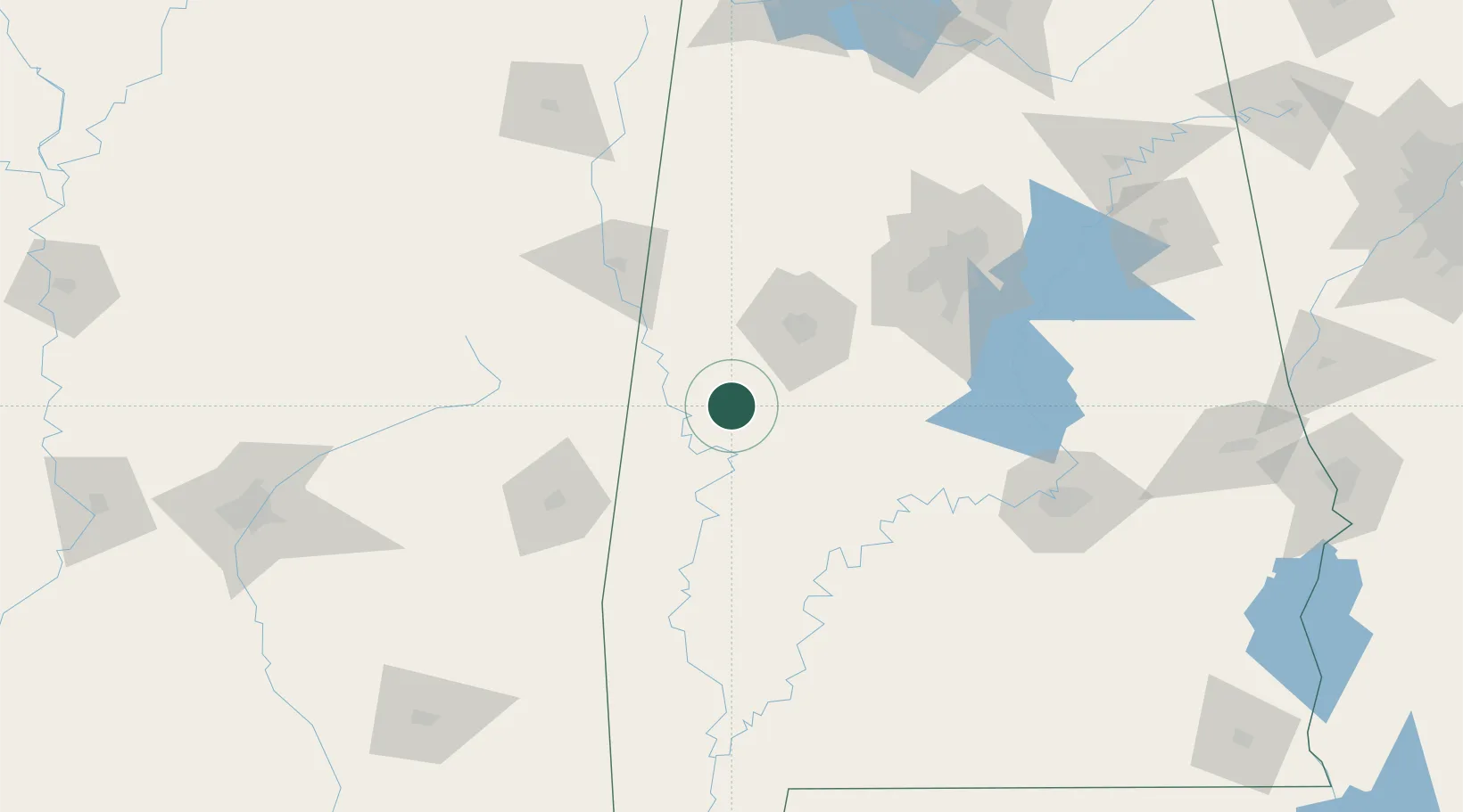
Nearby Logistics Neighbours

Cities
  1. 1Stewart17 km
  2. 2Greensboro30 km
  3. 3Carrollton51 km
  4. 4Cottondale56 km
  5. 5Pickensville58 km
Nearest neighbours — logibook spatial index (haversine) over the source coordinates
Ports
  1. 1Mobile240 km
  2. 2Pensacola278 km
  3. 3Pascagoula284 km
  4. 4Biloxi289 km
  5. 5Gulfport299 km
Nearest neighbours — logibook spatial index (haversine) over the source coordinates
Airports
  1. 1Tuscaloosa National Airport49 km
  2. 2Naval Air Station Meridian / McCain Field72 km
  3. 3Golden Triangle Regional Airport96 km
  4. 4Key Field / Meridian Regional Airport100 km
  5. 5Columbus Air Force Base105 km
Nearest neighbours — logibook spatial index (haversine) over the source coordinates
Trade Zones
  1. 1FTZ No. 098 Birmingham124 km
  2. 2FTZ No. 222 Montgomery154 km
  3. 3FTZ No. 270 Lawrence County219 km
  4. 4FTZ No. 265 Conroe (Montgomery County)220 km
  5. 5FTZ No. 083 Huntsville226 km
Nearest neighbours — logibook spatial index (haversine) over the source coordinates
DatabookThe Record of Consolidated Knowledge
United States beyond logistics?
Browse databook

All Sources

LocationsUN/LOCODE
UN/LOCODE — free
LocationsGeoNames
CC BY 4.0
Portsthe NGA World Port Index
Public domain (US gov)
AirportsOurAirports
Public domain
Trade Zonesthe World Bank SEZ database
CC BY 4.0
Trade ZonesOpen Zone Map
CC BY
← United States locations