UN/LOCODE hub · United States
USGBS
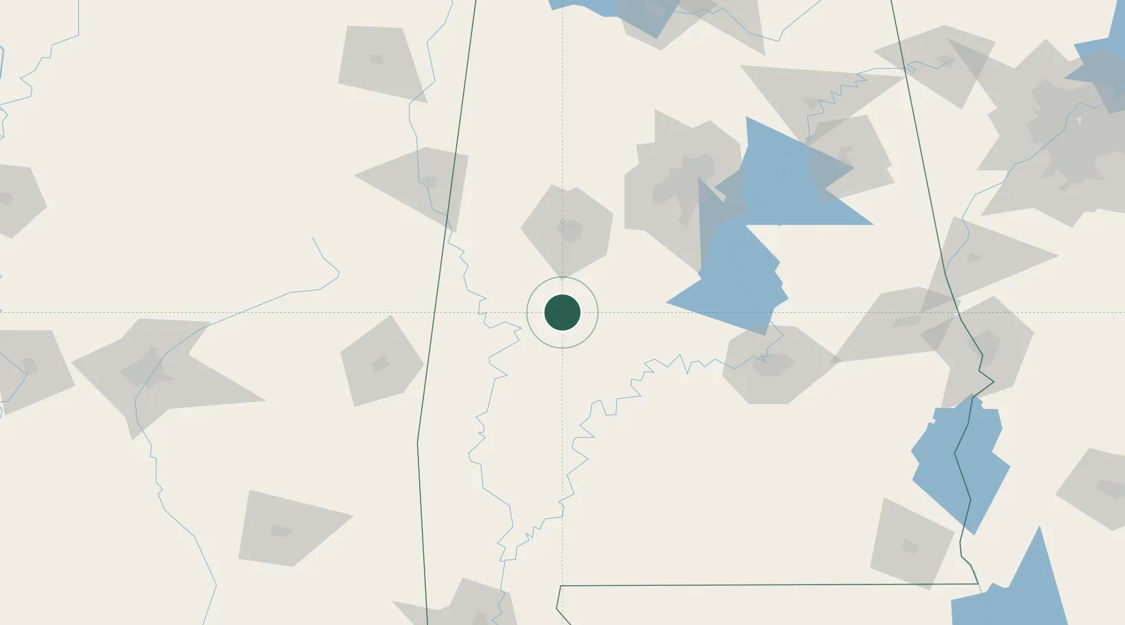
Greensboro
32.7000°, -87.5833°
2,387
Population
3
Transport functions
Transport Functions
Rail
Road
Multimodal
Hub Profile
Place type
Provincial seat
Region
Alabama
Population
2,387
Time zone
America/Chicago
Elevation
86 m
Location
Nearby Logistics Neighbours
Cities
- 1Stewart25 km
- 2Eutaw30 km
- 3Brent48 km
- 4Cottondale57 km
- 5Maplesville68 km
Ports
- 1Mobile230 km
- 2Pensacola258 km
- 3Pascagoula277 km
- 4Biloxi286 km
- 5Gulfport298 km
Airports
Trade Zones
- 1FTZ No. 098 Birmingham116 km
- 2FTZ No. 222 Montgomery125 km
- 3FTZ No. 270 Lawrence County224 km
- 4FTZ No. 265 Conroe (Montgomery County)226 km
- 5FTZ No. 082 Mobile229 km
DatabookThe Record of Consolidated Knowledge
United States beyond logistics?