Transport Functions
Rail
Road
Hub Profile
Place type
Populated place
Region
Alabama
Population
4,898
Time zone
America/Chicago
Elevation
73 m
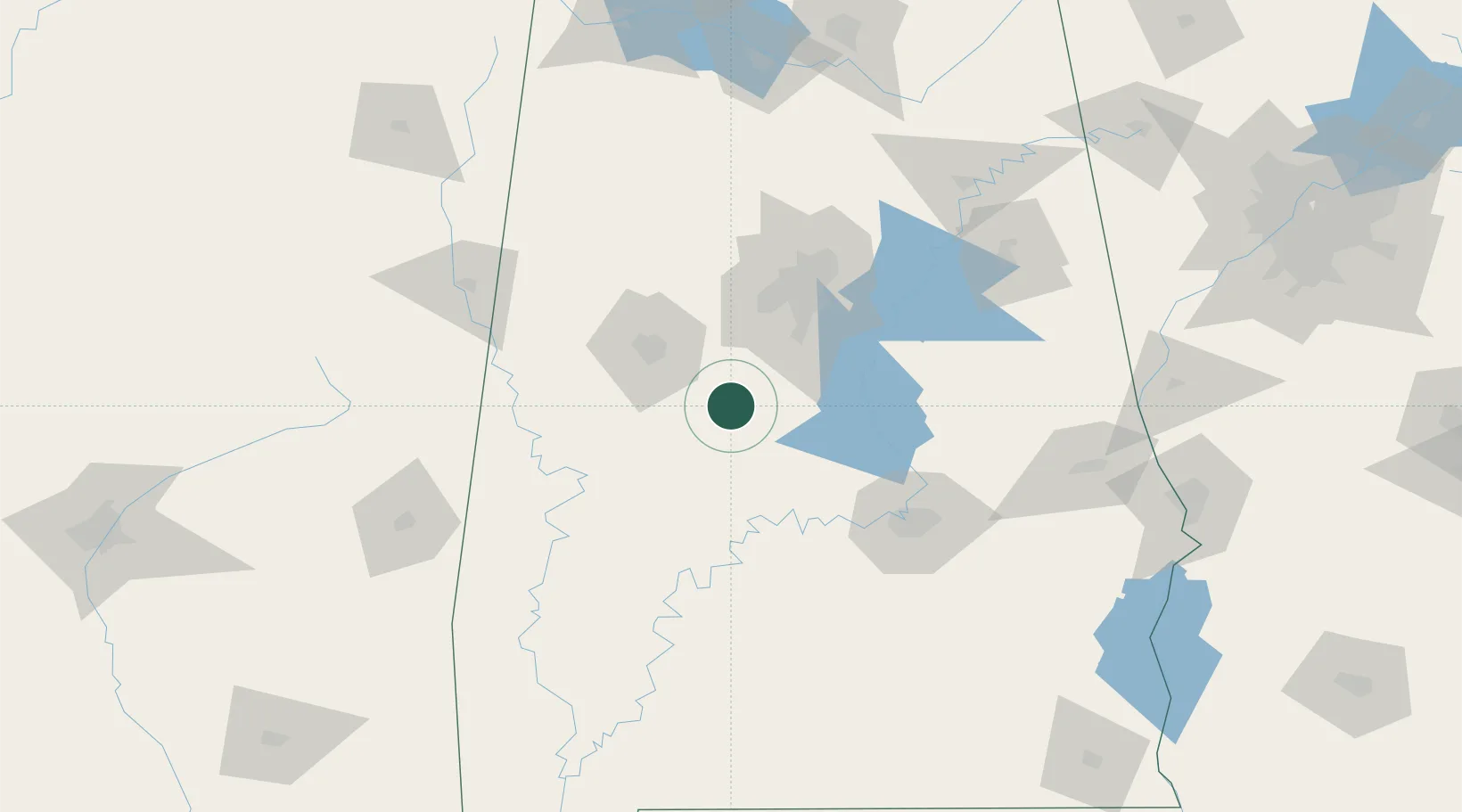
Location
Nearby Logistics Neighbours
Cities
- 1Woodstock30 km
- 2Maplesville31 km
- 3Jemison38 km
- 4Thorsby41 km
- 5Cottondale41 km
Ports
- 1Mobile266 km
- 2Pensacola282 km
- 3Pascagoula317 km
- 4Biloxi328 km
- 5Gulfport341 km
Airports
Trade Zones
- 1FTZ No. 098 Birmingham73 km
- 2FTZ No. 222 Montgomery100 km
- 3FTZ No. 270 Lawrence County191 km
- 4FTZ No. 265 Conroe (Montgomery County)193 km
- 5FTZ No. 083 Huntsville194 km
DatabookThe Record of Consolidated Knowledge
United States beyond logistics?