Transport Functions
Multimodal
Hub Profile
Place type
Populated place
Region
Texas
Time zone
America/Chicago
Elevation
79 m
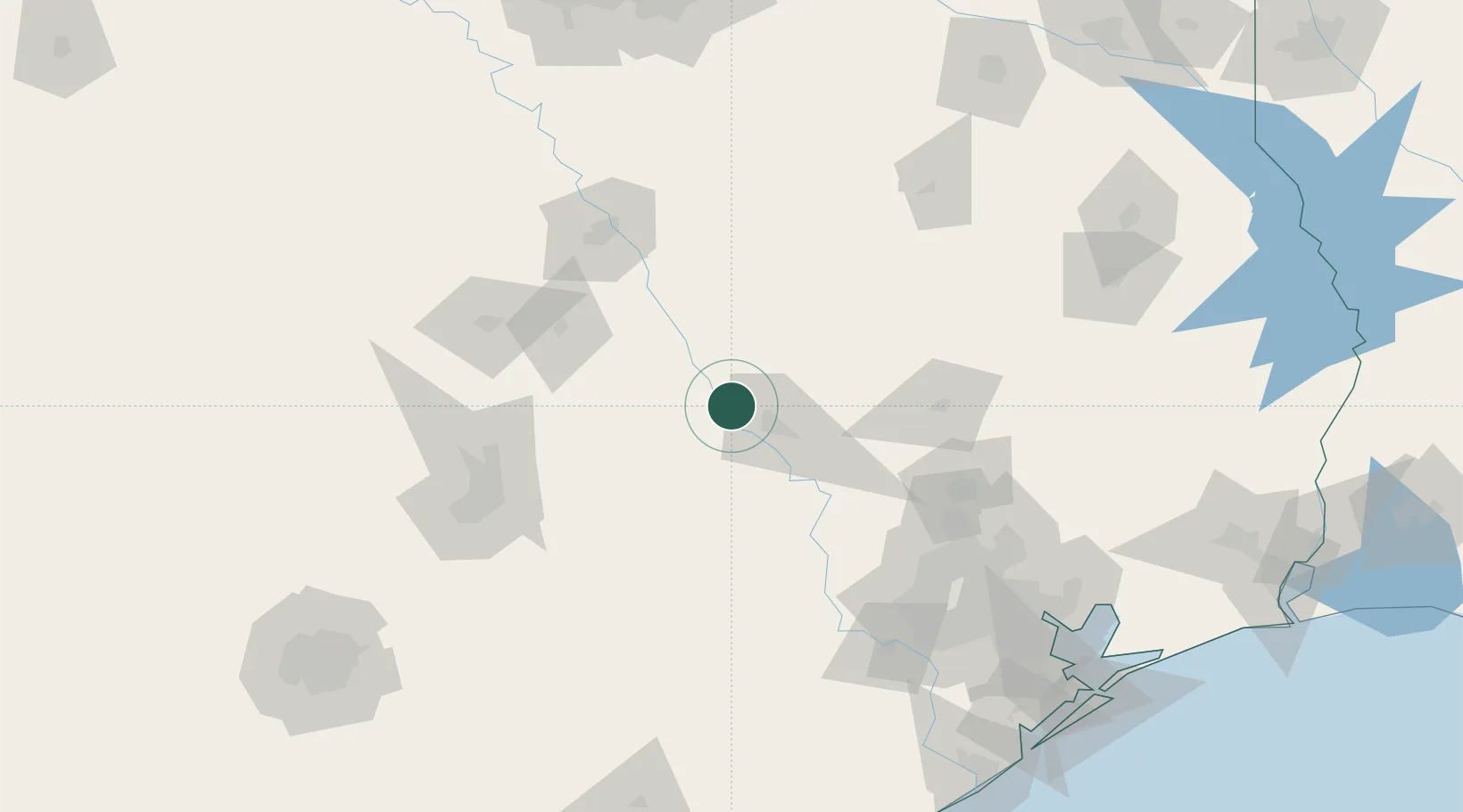
Location
Nearby Logistics Neighbours
Cities
- 1Chriesman26 km
- 2Millican45 km
- 3Normangee52 km
- 4Prairie Hill, Washington56 km
- 5Navasota59 km
Ports
- 1Deer Park160 km
- 2Houston164 km
- 3Pasadena171 km
- 4Baytown185 km
- 5Texas City217 km
Airports
Trade Zones
- 1FTZ No. 246 Waco113 km
- 2FTZ No. 183 Austin125 km
- 3FTZ No. 171 Liberty County153 km
- 4FTZ No. 084 Harris County158 km
- 5FTZ No. 269 Athens174 km
DatabookThe Record of Consolidated Knowledge
United States beyond logistics?