Transport Functions
Rail
Road
Multimodal
Hub Profile
Place type
Populated place
Region
Colorado
Time zone
America/Denver
Elevation
1,838 m
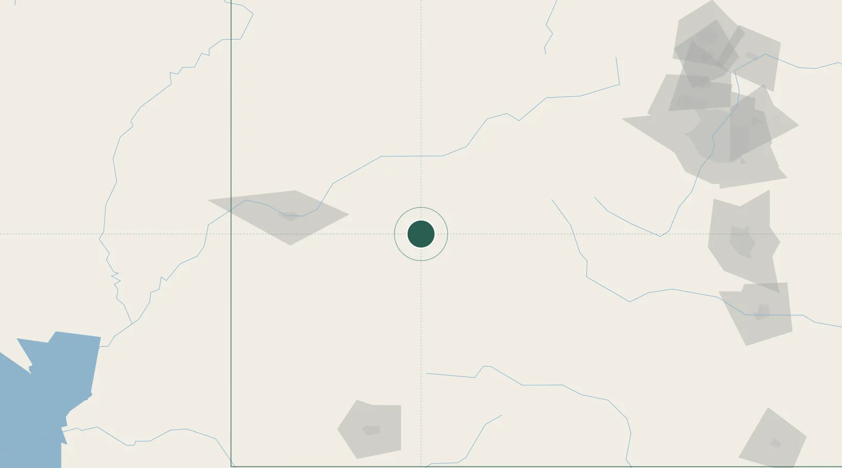
Location
Nearby Logistics Neighbours
Cities
- 1Ash Grove46 km
- 2Austin46 km
- 3Snowmass Village54 km
- 4New Castle55 km
- 5Delta56 km
Ports
- 1Newport Beach1105 km
- 2San Diego1115 km
- 3Long Beach1117 km
- 4Los Angeles1124 km
- 5El Segundo1128 km
Airports
Trade Zones
- 1FTZ No. 298 Jefferson County218 km
- 2FTZ No. 112 Colorado Springs229 km
- 3FTZ No. 123 Denver231 km
- 4FTZ No. 293 Limon328 km
- 5FTZ No. 110 Albuquerque432 km
DatabookThe Record of Consolidated Knowledge
United States beyond logistics?