UN/LOCODE hub · United States
USSR2
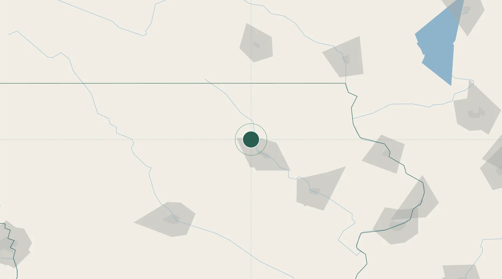
Shell Rock
42.7167°, -92.5667°
1,323
Population
2
Transport functions
Transport Functions
Rail
Road
Hub Profile
Place type
Populated place
Region
Iowa
Population
1,323
Time zone
America/Chicago
Elevation
278 m
Location
Nearby Logistics Neighbours
Cities
- 1Plainfield13 km
- 2Hudson37 km
- 3Reinbeck45 km
- 4Sheffield56 km
- 5Beaman59 km
Ports
- 1Milwaukee383 km
- 2Kaukauna388 km
- 3Kenosha389 km
- 4Port Washington389 km
- 5Racine391 km
Airports
Trade Zones
- 1FTZ No. 175 Cedar Rapids105 km
- 2FTZ No. 107 Polk County150 km
- 3FTZ No. 271 Jo-Daviess and Carroll Counties196 km
- 4FTZ No. 266 Dane County237 km
- 5FTZ No. 055 Burlington244 km
DatabookThe Record of Consolidated Knowledge
United States beyond logistics?