Medium airport · United States
The Eastern Iowa AirportKCID
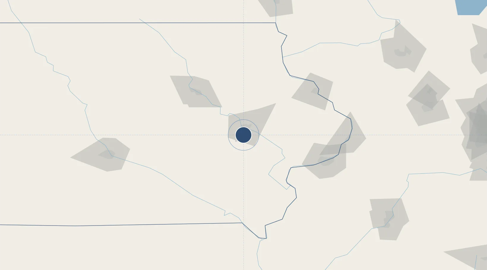
41.8847°, -91.7108°
8,600 ft
Longest runway
2
Runways
869 ft
Elevation
Runway & Layout

Radio Frequencies
ATIS
124.15 MHz
TWR
118.7 MHz
GND
121.6 MHz
CLD
125.45 MHz
CLNC DEL
CTAF
118.7 MHz
A/D
119.7 MHz
APP/DEP (091-269)
A/D
134.05 MHz
APP/DEP (270-090)
RDO
122.55 MHz
FORT DODGE RDO
UNIC
122.95 MHz
UNICOM
Navaids
CI NDB Cindy 326 kHz
CID VOR-DME Cedar Rapids 114.10 MHz
Runways · 2
| Runway | Dimensions | Surface | True heading | Lit |
|---|---|---|---|---|
| 09/27 | 8,600 × 150ft | Permanent | 091° | ✓ |
| 13/31 | 6,200 × 150ft | Permanent | 136° | ✓ |
Airport Specifications
IATA code
CID
ICAO code
KCID
Airport class
Medium airport
Scheduled service
Yes
Runway surface
Permanent
Served city
Cedar Rapids
Location
Nearby Logistics Neighbours
Airports
- 1Waterloo Regional Airport94 km
- 2Dubuque Regional Airport101 km
- 3Ottumwa Regional Airport106 km
- 4Quad City International Airport111 km
- 5Southeast Iowa Regional Airport132 km
Ports
- 1Great Lakes323 km
- 2Waukegan326 km
- 3Kenosha330 km
- 4Wilmette334 km
- 5Racine336 km
Trade Zones
- 1FTZ No. 175 Cedar Rapids12 km
- 2FTZ No. 055 Burlington130 km
- 3FTZ No. 271 Jo-Daviess and Carroll Counties131 km
- 4FTZ No. 107 Polk County168 km
- 5FTZ No. 176 Rockford211 km
DatabookThe Record of Consolidated Knowledge
United States beyond logistics?