UN/LOCODE hub · United States
USSED
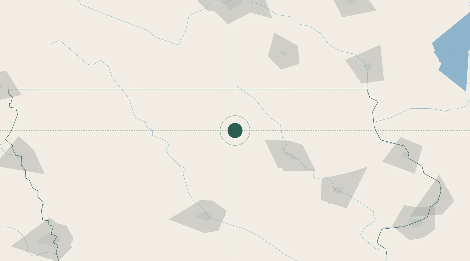
Sheffield
42.8833°, -93.2167°
1,140
Population
2
Transport functions
Transport Functions
Rail
Road
Hub Profile
Place type
Populated place
Region
Iowa
Population
1,140
Time zone
America/Chicago
Elevation
328 m
Location
Nearby Logistics Neighbours
Ports
- 1Kaukauna428 km
- 2Milwaukee434 km
- 3Superior438 km
- 4Port Washington438 km
- 5Duluth441 km
Airports
Trade Zones
DatabookThe Record of Consolidated Knowledge
United States beyond logistics?