UN/LOCODE hub · United States
USRB2
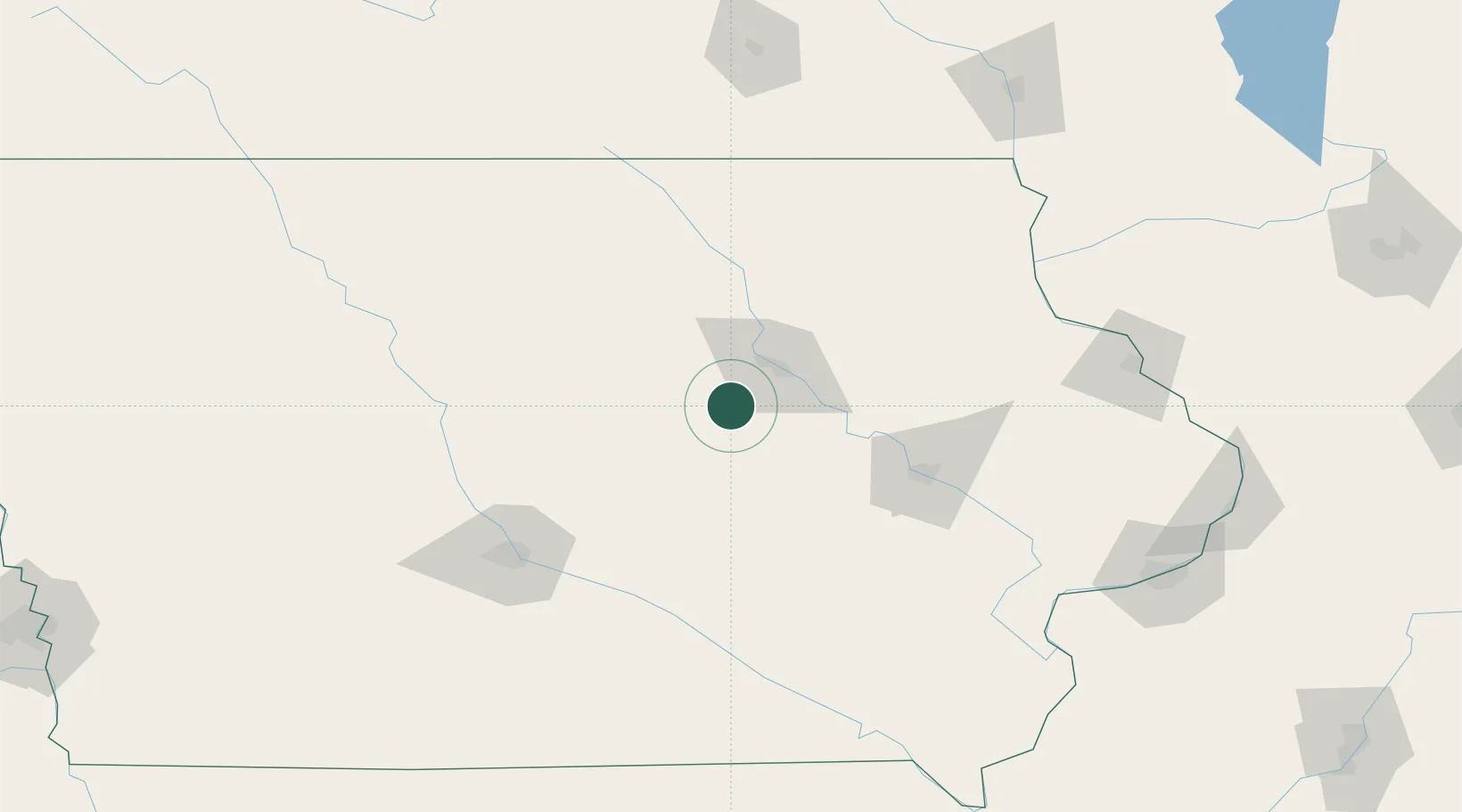
Reinbeck
42.3167°, -92.6000°
1,639
Population
2
Transport functions
Transport Functions
Rail
Road
Hub Profile
Place type
Populated place
Region
Iowa
Population
1,639
Time zone
America/Chicago
Elevation
293 m
Location
Nearby Logistics Neighbours
Cities
- 1Hudson15 km
- 2Beaman21 km
- 3Toleda37 km
- 4Tama39 km
- 5Shell Rock45 km
Ports
- 1Great Lakes392 km
- 2Waukegan393 km
- 3Kenosha394 km
- 4Milwaukee394 km
- 5Racine397 km
Airports
Trade Zones
- 1FTZ No. 175 Cedar Rapids77 km
- 2FTZ No. 107 Polk County117 km
- 3FTZ No. 271 Jo-Daviess and Carroll Counties194 km
- 4FTZ No. 055 Burlington209 km
- 5FTZ No. 266 Dane County251 km
DatabookThe Record of Consolidated Knowledge
United States beyond logistics?