Transport Functions
Rail
Road
Hub Profile
Place type
Populated place
Region
Iowa
Population
2,381
Time zone
America/Chicago
Elevation
275 m
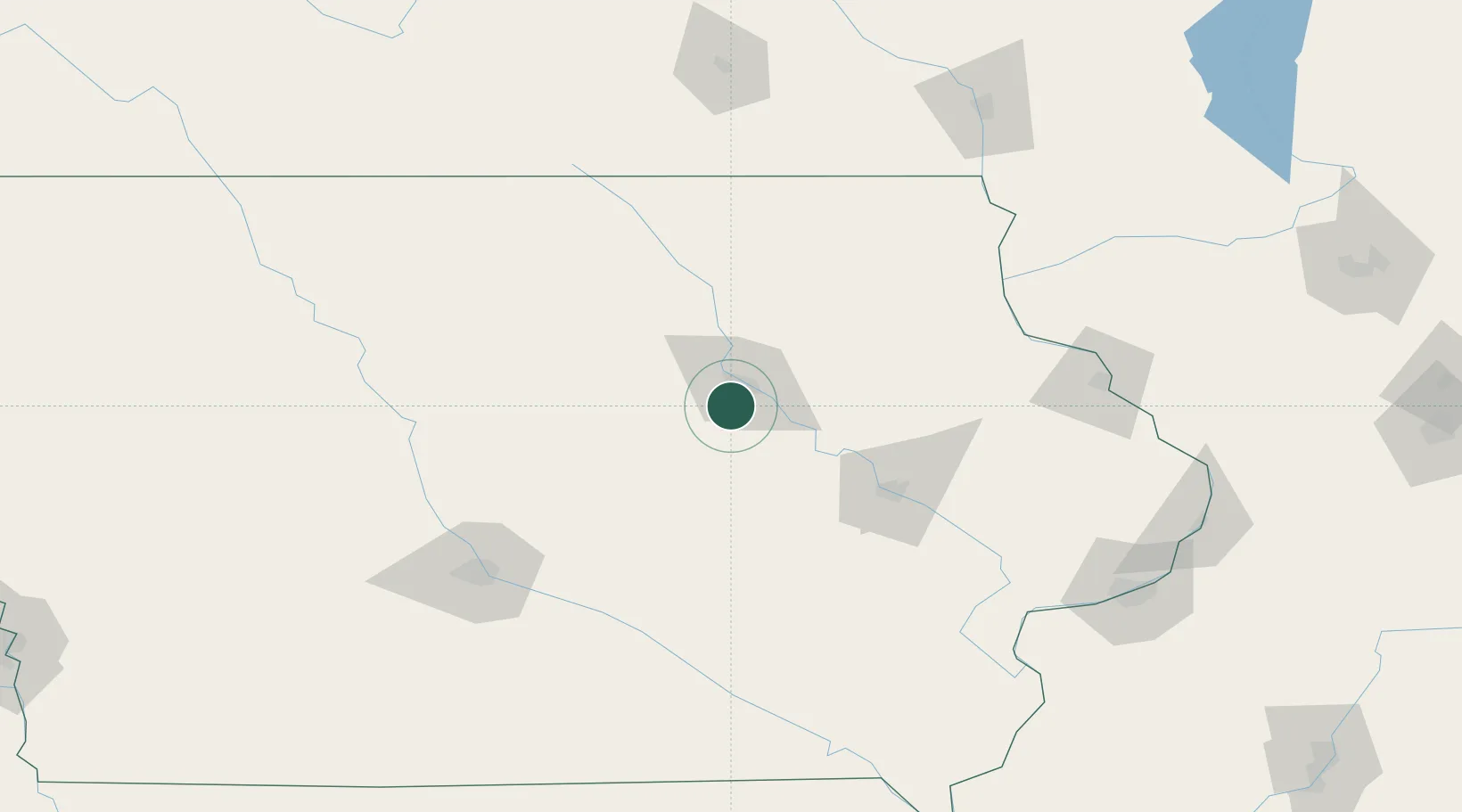
Location
Nearby Logistics Neighbours
Cities
- 1Reinbeck15 km
- 2Beaman36 km
- 3Shell Rock37 km
- 4Independence47 km
- 5Toleda47 km
Ports
- 1Great Lakes380 km
- 2Milwaukee380 km
- 3Kenosha380 km
- 4Waukegan381 km
- 5Racine384 km
Airports
Trade Zones
- 1FTZ No. 175 Cedar Rapids72 km
- 2FTZ No. 107 Polk County132 km
- 3FTZ No. 271 Jo-Daviess and Carroll Counties182 km
- 4FTZ No. 055 Burlington209 km
- 5FTZ No. 266 Dane County236 km
DatabookThe Record of Consolidated Knowledge
United States beyond logistics?