Transport Functions
Multimodal
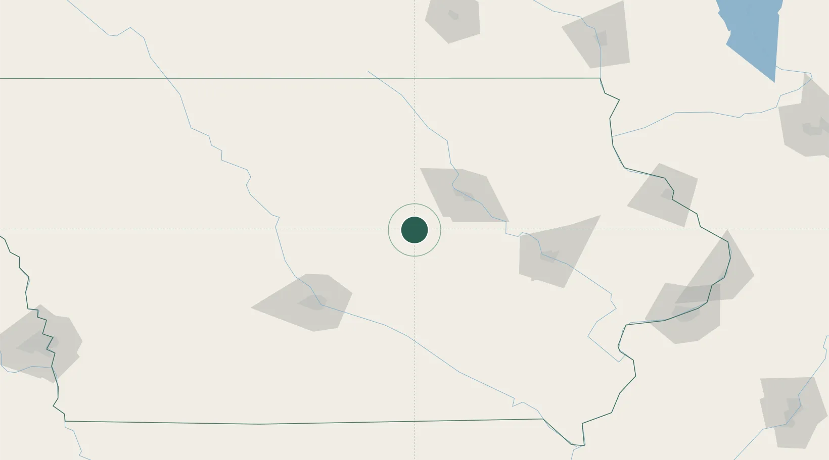
Hub Profile
Place type
Populated place
Region
Iowa
Population
192
Time zone
America/Chicago
Elevation
304 m
Location
Nearby Logistics Neighbours
Cities
- 1Reinbeck21 km
- 2New Providence30 km
- 3Toleda33 km
- 4Tama35 km
- 5Hudson36 km
Ports
- 1Great Lakes410 km
- 2Waukegan412 km
- 3Kenosha413 km
- 4Milwaukee414 km
- 5Racine417 km
Airports
Trade Zones
DatabookThe Record of Consolidated Knowledge
United States beyond logistics?