Foreign Trade Zone · United States

FTZ No. 055 Burlington Active
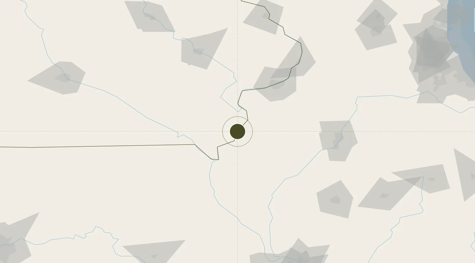
40.8106°, -91.1017°
315.7 km
Nearest port
3.6 km
Nearest airport

Gateway access

Nearest neighbours — logibook spatial index (haversine) over the source coordinates

Zone profile

Zone type
Foreign Trade Zone
Open Zone Map
Region
Iowa
Open Zone Map
Status
Active
Open Zone Map
Management
Public
Open Zone Map
Operator
Greater Burlington Industrial Corporation
Open Zone Map
Legal framework
Foreign-Trade Zones Act
Open Zone Map

Location

Location of ozm-4844
Natural Earth 10m (public domain) · Iowa · ozm-4844 · 40.81, -91.10GoogleOSMYandex

Nearby Logistics Neighbours

Ports
  1. 1Chicago316 km
  2. 2Calumet Harbor317 km
  3. 3Wilmette318 km
  4. 4Great Lakes318 km
  5. 5Indiana Harbor321 km
Nearest neighbours — logibook spatial index (haversine) over the source coordinates
Airports
  1. 1Southeast Iowa Regional Airport4 km
  2. 2Quad City International Airport87 km
  3. 3Quincy Regional Airport Baldwin Field97 km
  4. 4Ottumwa Regional Airport118 km
  5. 5General Wayne A. Downing Peoria International Airport120 km
Nearest neighbours — logibook spatial index (haversine) over the source coordinates
Cities
  1. 1West Burlington4 km
  2. 2Mediapolis21 km
  3. 3New London29 km
  4. 4Franklin37 km
  5. 5Houghton42 km
Nearest neighbours — logibook spatial index (haversine) over the source coordinates
Trade Zones
  1. 1FTZ No. 114 Peoria128 km
  2. 2FTZ No. 175 Cedar Rapids141 km
  3. 3FTZ No. 271 Jo-Daviess and Carroll Counties182 km
  4. 4FTZ No. 245 Decatur203 km
  5. 5FTZ No. 176 Rockford225 km
Nearest neighbours — logibook spatial index (haversine) over the source coordinates
DatabookThe Record of Consolidated Knowledge
United States beyond logistics?
Browse databook

All Sources

Trade ZonesOpen Zone Map
CC BY
Portsthe NGA World Port Index
Public domain (US gov)
AirportsOurAirports
Public domain
LocationsUN/LOCODE
UN/LOCODE — free
← United States trade zones