UN/LOCODE hub · United States
USNLF
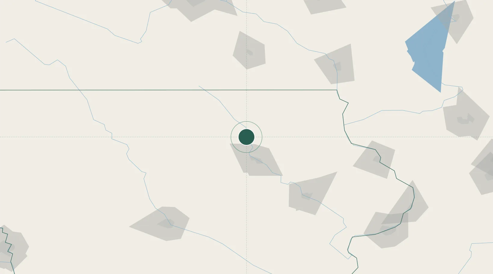
Plainfield
42.8333°, -92.5333°
425
Population
2
Transport functions
Transport Functions
Rail
Road
Hub Profile
Place type
Populated place
Region
Iowa
Population
425
Time zone
America/Chicago
Elevation
287 m
Location
Nearby Logistics Neighbours
Cities
- 1Shell Rock13 km
- 2Hudson49 km
- 3Osage55 km
- 4Sheffield56 km
- 5Reinbeck58 km
Ports
- 1Milwaukee379 km
- 2Kaukauna380 km
- 3Port Washington384 km
- 4Kenosha386 km
- 5Racine388 km
Airports
Trade Zones
DatabookThe Record of Consolidated Knowledge
United States beyond logistics?