Medium airport · United States

Mason City Municipal AirportKMCW
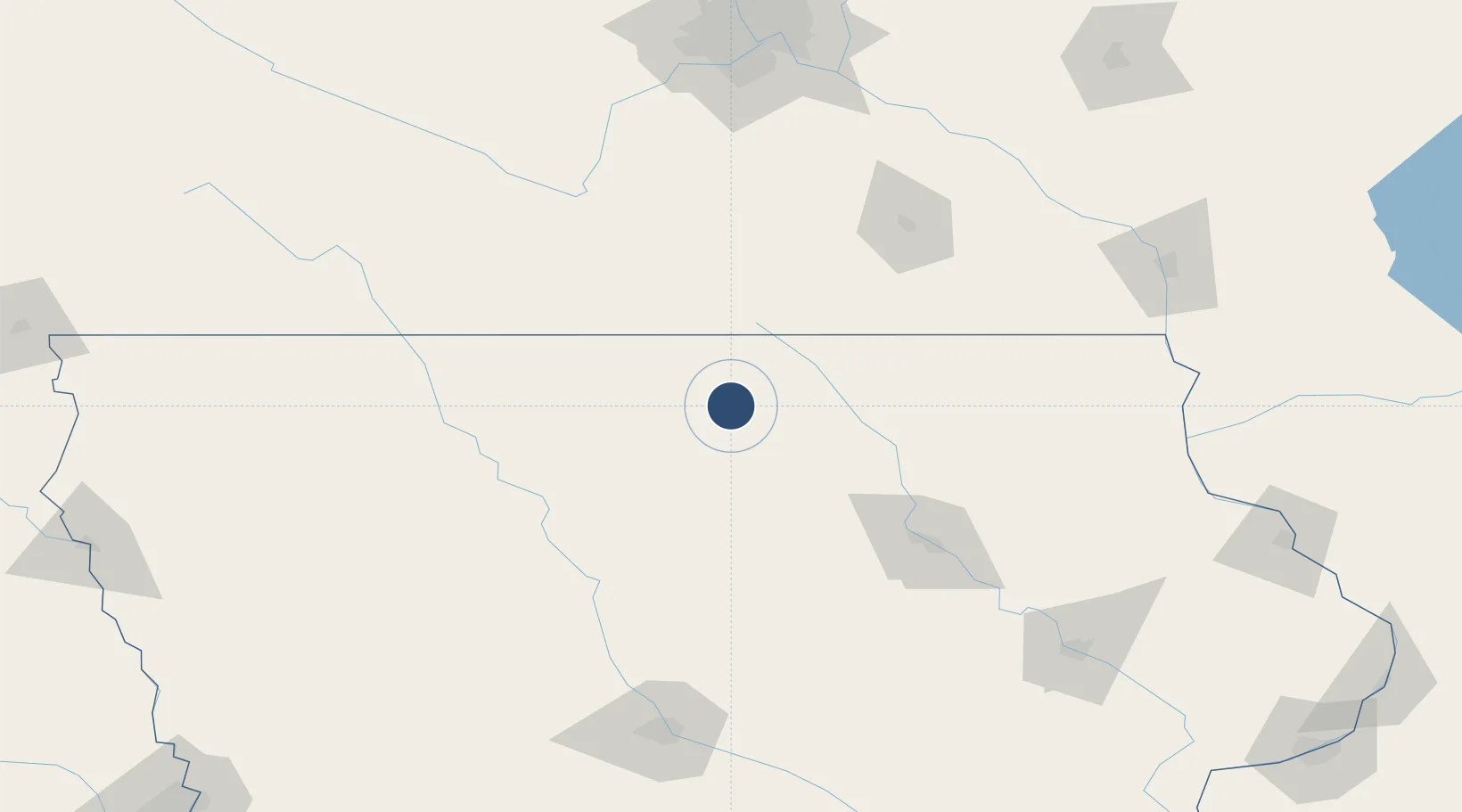
43.1598°, -93.3297°
6,501 ft
Longest runway
2
Runways
1,213 ft
Elevation

Runway & Layout

Mason City Municipal Airport runway & taxiway layout
Runway & taxiway layout — OpenStreetMap (ODbL) / OurAirports

Radio Frequencies

ASOS
120.3 MHz
CNTR
127.3 MHz
MINNEAPOLIS CNTR
RDO
122.6 MHz
FORT DODGE RDO
UNIC
123 MHz
CTAF/UNICOM
OurAirports

Runways · 2

RunwayDimensions SurfaceTrue headingLit
18/36 6,501 × 150ft Asphalt 180°
12/30 5,502 × 150ft Asphalt 125°
OurAirports

Airport Specifications

IATA code
MCW
OurAirports
ICAO code
KMCW
OurAirports
Airport class
Medium airport
OurAirports
Scheduled service
Yes
OurAirports
Runway surface
Asphalt
OurAirports
Served city
Mason City
OurAirports

Location

Location of KMCW
Natural Earth 10m (public domain) · Iowa · KMCW · 43.16, -93.33GoogleOSMYandex

Nearby Logistics Neighbours

Airports
  1. 1Northeast Iowa Regional Airport59 km
  2. 2Fort Dodge Regional Airport97 km
  3. 3Waterloo Regional Airport101 km
  4. 4Rochester International Airport107 km
  5. 5Des Moines International Airport183 km
Nearest neighbours — logibook spatial index (haversine) over the source coordinates
Cities
  1. 1Garner23 km
  2. 2Sheffield32 km
  3. 3Lake Mills33 km
  4. 4Saint Ansgar41 km
  5. 5Belmond42 km
Nearest neighbours — logibook spatial index (haversine) over the source coordinates
Ports
  1. 1Superior410 km
  2. 2Duluth413 km
  3. 3Kaukauna426 km
  4. 4Ashland429 km
  5. 5Washburn435 km
Nearest neighbours — logibook spatial index (haversine) over the source coordinates
Trade Zones
  1. 1FTZ No. 107 Polk County168 km
  2. 2FTZ No. 175 Cedar Rapids182 km
  3. 3FTZ No. 119 Minneapolis-St. Paul201 km
  4. 4FTZ No. 288 Northwest Iowa223 km
  5. 5FTZ No. 271 Jo-Daviess and Carroll Counties269 km
Nearest neighbours — logibook spatial index (haversine) over the source coordinates
DatabookThe Record of Consolidated Knowledge
United States beyond logistics?
Browse databook

All Sources

AirportsOurAirports
Public domain
Portsthe NGA World Port Index
Public domain (US gov)
LocationsUN/LOCODE
UN/LOCODE — free
Trade Zonesthe World Bank SEZ database
CC BY 4.0
Trade ZonesOpen Zone Map
CC BY
InfrastructureOpenStreetMap
ODbL 1.0
← United States airports