Medium airport · United States

Visalia Municipal AirportKVIS

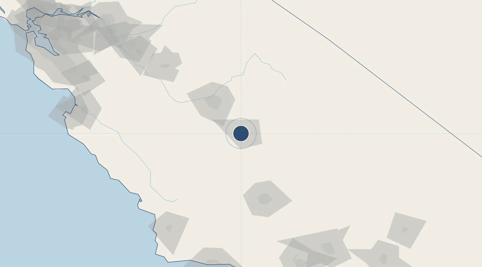
36.3187°, -119.3930°
6,562 ft
Longest runway
1
Runways
295 ft
Elevation

Runway & Layout

Visalia Municipal Airport runway & taxiway layout
Runway & taxiway layout — OpenStreetMap (ODbL) / OurAirports

Radio Frequencies

AWOS
119.925 MHz
AWOS 3
A/D
118.5 MHz
FRESNO APP/DEP
RDO
109.4 MHz
RANCHO RDO
UNIC
123.05 MHz
CTAF/UNICOM
OurAirports

Runways · 1

RunwayDimensions SurfaceTrue headingLit
12/30 6,562 × 150ft Asphalt 135°
OurAirports

Airport Specifications

IATA code
VIS
OurAirports
ICAO code
KVIS
OurAirports
Airport class
Medium airport
OurAirports
Scheduled service
No
OurAirports
Runway surface
Asphalt
OurAirports
Served city
Visalia
OurAirports

Location

Location of KVIS
Natural Earth 10m (public domain) · California · KVIS · 36.32, -119.39GoogleOSMYandex

Nearby Logistics Neighbours

Airports
  1. 1Lemoore Naval Air Station (Reeves Field) Airport50 km
  2. 2Fresno Yosemite International Airport59 km
  3. 3Meadows Field103 km
  4. 4Bakersfield International Airport116 km
  5. 5Paso Robles Municipal Airport132 km
Nearest neighbours — logibook spatial index (haversine) over the source coordinates
Cities
  1. 1Goshen4 km
  2. 2Farmersville18 km
  3. 3Hanford22 km
  4. 4Laton29 km
  5. 5Stratford41 km
Nearest neighbours — logibook spatial index (haversine) over the source coordinates
Ports
  1. 1Morro Bay169 km
  2. 2Pismo Beach174 km
  3. 3Port San Luis177 km
  4. 4Santa Barbara213 km
  5. 5Ellwood215 km
Nearest neighbours — logibook spatial index (haversine) over the source coordinates
Trade Zones
  1. 1FTZ No. 276 Kern County111 km
  2. 2FTZ No. 226 Merced, Madera and Fresno Counties147 km
  3. 3FTZ No. 191 Palmdale226 km
  4. 4FTZ No. 205 Port Hueneme242 km
  5. 5FTZ No. 018 San Jose249 km
Nearest neighbours — logibook spatial index (haversine) over the source coordinates
DatabookThe Record of Consolidated Knowledge
United States beyond logistics?
Browse databook

All Sources

AirportsOurAirports
Public domain
Portsthe NGA World Port Index
Public domain (US gov)
LocationsUN/LOCODE
UN/LOCODE — free
Trade Zonesthe World Bank SEZ database
CC BY 4.0
Trade ZonesOpen Zone Map
CC BY
InfrastructureOpenStreetMap
ODbL 1.0
← United States airports