Transport Functions
Rail
Road
Multimodal
Hub Profile
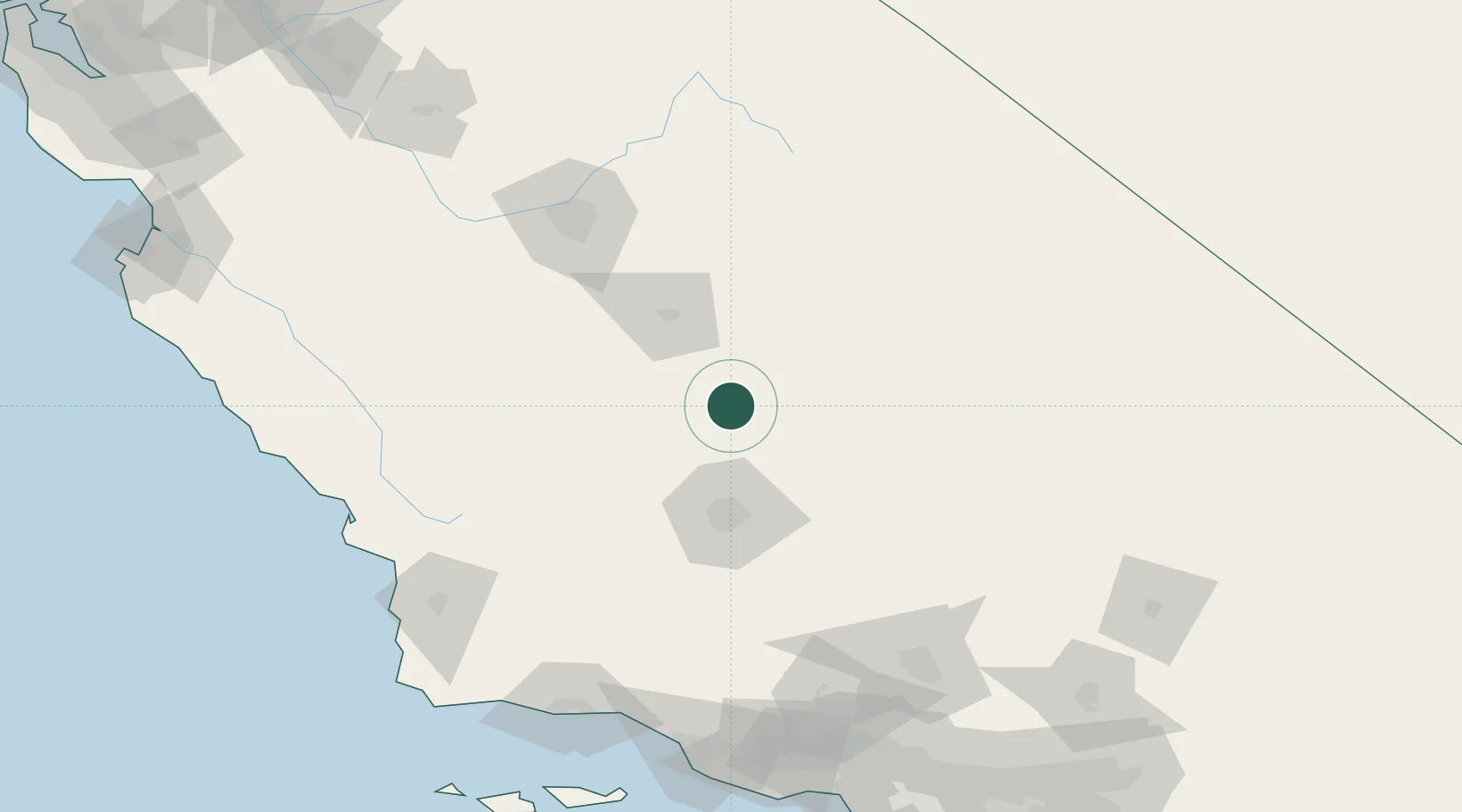
Place type
Populated place
Region
California
Population
612
Time zone
America/Los_Angeles
Elevation
167 m
Location
Nearby Logistics Neighbours
Cities
- 1Terra Bella7 km
- 2Richgrove11 km
- 3Farmersville47 km
- 4Shafter, Kern48 km
- 5Goshen62 km
Ports
- 1Pismo Beach168 km
- 2Carpinteria173 km
- 3Santa Barbara174 km
- 4Morro Bay174 km
- 5Port San Luis175 km
Airports
Trade Zones
- 1FTZ No. 276 Kern County57 km
- 2FTZ No. 191 Palmdale167 km
- 3FTZ No. 205 Port Hueneme193 km
- 4FTZ No. 226 Merced, Madera and Fresno Counties204 km
- 5FTZ No. 243 Victorville209 km
DatabookThe Record of Consolidated Knowledge
United States beyond logistics?